Area Overview for B33 9JL
Photos of B33 9JL
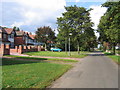
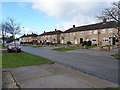
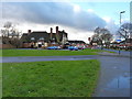
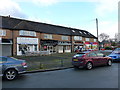
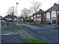
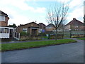
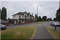
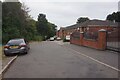
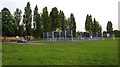
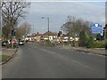
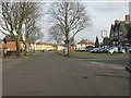
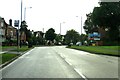
16 photos from this area
Area Information
Key information about the B33 9JL including its size, population, and administrative classification.
- Area Type
- Postcode
- Area Size
- 2.5 hectares
- Population
- 1762
- Population Density
- 8850 people/km²
House Prices in B33 9JL
34
Properties
£100,821
Average Sold Price
£42,000
Lowest Price
£160,000
Highest Price
Showing 34 properties
| Address | Type | Beds | Baths | Last Sale Price | Last Sale Date | |
|---|---|---|---|---|---|---|
| 95 Wyndhurst Road, Birmingham, B33 9JL | house | - | - | £160,000 | Jan 2025 | |
| 99 Wyndhurst Road, Birmingham, B33 9JL | Terraced | 3 | 1 | £148,000 | Aug 2021 | |
| 121 Wyndhurst Road, Birmingham, B33 9JL | house | - | - | £69,000 | Oct 2019 | |
| 101 Wyndhurst Road, Birmingham, B33 9JL | Terraced | 3 | 1 | £119,000 | Mar 2019 | |
| 129 Wyndhurst Road, Birmingham, B33 9JL | Terraced | 2 | 1 | £135,250 | Sep 2018 | |
| 149 Wyndhurst Road, Birmingham, B33 9JL | Semi-detached | 3 | - | £134,000 | Feb 2017 | |
| 139 Wyndhurst Road, Birmingham, B33 9JL | Terraced | 3 | 1 | £132,000 | Jan 2017 | |
| 147 Wyndhurst Road, Birmingham, B33 9JL | Semi-detached | 2 | - | £90,000 | Mar 2015 | |
| 107 Wyndhurst Road, Birmingham, B33 9JL | Terraced | 3 | 1 | £103,000 | Mar 2010 | |
| 117 Wyndhurst Road, Birmingham, B33 9JL | house | - | - | £106,950 | Mar 2007 |
Page 1 of 4
Energy Efficiency in B33 9JL
Amenities
Schools
| Rank | School | Type | Entry gender | Ages |
|---|
Explore more schools in this area
Go to Schools tabDemographics
Household Size
Family (3-5 people)
most common
Accommodation Type
Houses
most common
Tenure
34
majority
Ethnic Group
White
most common
Religion
N/A
most common
Household Composition
N/A
most common
Age
47
median
Adults (30-64 years)
most common
Household Deprivation
N/A
with no deprivation
NS-SEC
14
in Lower managerial occupations
Explore more demographic insights in this area
Go to Demographics tabPlanning
Planning Constraints
- Flood RiskPremium
- Ramsar Wetland SitesPremium
- Area of Outstanding Natural BeautyPremium
- Protected Nature ReservePremium
- Protected WoodlandPremium