Area Overview for B33 9JW
Photos of B33 9JW
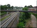
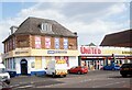
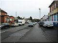
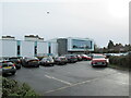

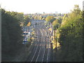
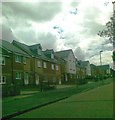

19 photos from this area
Area Information
Key information about the B33 9JW including its size, population, and administrative classification.
- Area Type
- Postcode
- Area Size
- 9424 m²
- Population
- 1762
- Population Density
- 8850 people/km²
House Prices in B33 9JW
37
Properties
£119,276
Average Sold Price
£69,950
Lowest Price
£232,250
Highest Price
Showing 37 properties
| Address | Type | Beds | Baths | Last Sale Price | Last Sale Date | |
|---|---|---|---|---|---|---|
| 176 Wyndhurst Road, Birmingham, B33 9JW | house | - | - | £180,000 | Aug 2023 | |
| 110 Wyndhurst Road, Birmingham, B33 9JW | Semi-detached | 3 | 1 | £232,250 | Aug 2023 | |
| 126 Wyndhurst Road, Birmingham, B33 9JW | Retail | 3 | 1 | £200,000 | Nov 2022 | |
| 128 Wyndhurst Road, Birmingham, B33 9JW | Terraced | 3 | 1 | £108,000 | May 2017 | |
| 166 Wyndhurst Road, Birmingham, B33 9JW | Terraced | 2 | - | £115,000 | Mar 2017 | |
| 108 Wyndhurst Road, Birmingham, B33 9JW | Semi-detached | 2 | 1 | £113,000 | Oct 2016 | |
| 154 Wyndhurst Road, Birmingham, B33 9JW | Terraced | 2 | 1 | £121,000 | Jul 2016 | |
| 132 Wyndhurst Road, Birmingham, B33 9JW | Terraced | 3 | - | £109,000 | Mar 2016 | |
| 120 Wyndhurst Road, Birmingham, B33 9JW | Terraced | 3 | - | £105,000 | Feb 2016 | |
| 150 Wyndhurst Road, Birmingham, B33 9JW | Terraced | 2 | - | £98,500 | Nov 2014 |
Page 1 of 4
Energy Efficiency in B33 9JW
Amenities
Schools
| Rank | School | Type | Entry gender | Ages |
|---|
Explore more schools in this area
Go to Schools tabDemographics
Household Size
Family (3-5 people)
most common
Accommodation Type
Houses
most common
Tenure
34
majority
Ethnic Group
White
most common
Religion
N/A
most common
Household Composition
N/A
most common
Age
47
median
Adults (30-64 years)
most common
Household Deprivation
N/A
with no deprivation
NS-SEC
14
in Lower managerial occupations
Explore more demographic insights in this area
Go to Demographics tabPlanning
Planning Constraints
- Flood RiskPremium
- Ramsar Wetland SitesPremium
- Area of Outstanding Natural BeautyPremium
- Protected Nature ReservePremium
- Protected WoodlandPremium