Area Overview for B33 9LA
Photos of B33 9LA
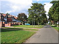
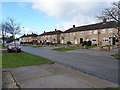
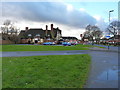
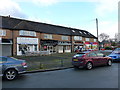
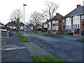
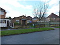
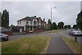
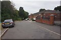
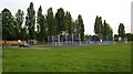
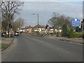
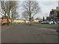
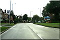
16 photos from this area
Area Information
Key information about the B33 9LA including its size, population, and administrative classification.
- Area Type
- Postcode
- Area Size
- 2415 m²
- Population
- 1762
- Population Density
- 8850 people/km²
House Prices in B33 9LA
8
Properties
£118,084
Average Sold Price
£21,560
Lowest Price
£215,000
Highest Price
Showing 8 properties
| Address | Type | Beds | Baths | Last Sale Price | Last Sale Date | |
|---|---|---|---|---|---|---|
| 44 Wyndhurst Road, Birmingham, B33 9LA | Semi-detached | 3 | 1 | £215,000 | Dec 2024 | |
| 50 Wyndhurst Road, Birmingham, B33 9LA | Terraced | 3 | 1 | £185,000 | Apr 2023 | |
| 54 Wyndhurst Road, Birmingham, B33 9LA | house | - | - | £100,000 | Oct 2006 | |
| 48 Wyndhurst Road, Birmingham, B33 9LA | Terraced | - | - | £114,950 | Jul 2004 | |
| 46 Wyndhurst Road, Birmingham, B33 9LA | house | - | - | £71,995 | Nov 2002 | |
| 52 Wyndhurst Road, Birmingham, B33 9LA | Terraced | 3 | 1 | £21,560 | Feb 2002 | |
| 42 Wyndhurst Road, Birmingham, B33 9LA | Terraced | - | - | - | - | |
| 40 Wyndhurst Road, Birmingham, B33 9LA | house | - | - | - | - |
Energy Efficiency in B33 9LA
Amenities
Schools
| Rank | School | Type | Entry gender | Ages |
|---|
Explore more schools in this area
Go to Schools tabDemographics
Household Size
Family (3-5 people)
most common
Accommodation Type
Houses
most common
Tenure
34
majority
Ethnic Group
White
most common
Religion
N/A
most common
Household Composition
N/A
most common
Age
47
median
Adults (30-64 years)
most common
Household Deprivation
N/A
with no deprivation
NS-SEC
14
in Lower managerial occupations
Explore more demographic insights in this area
Go to Demographics tabPlanning
Planning Constraints
- Flood RiskPremium
- Ramsar Wetland SitesPremium
- Area of Outstanding Natural BeautyPremium
- Protected Nature ReservePremium
- Protected WoodlandPremium