Area Overview for PE38 0AQ
Photos of PE38 0AQ
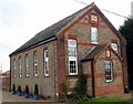
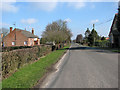
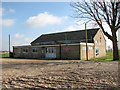
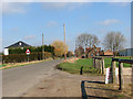
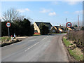
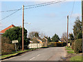
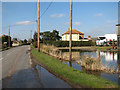
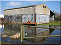
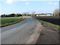
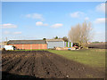
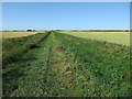
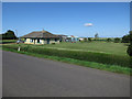
34 photos from this area
Area Information
Key information about the PE38 0AQ including its size, population, and administrative classification.
- Area Type
- Postcode
- Area Size
- 36.5 hectares
- Population
- 1682
- Population Density
- 39 people/km²
House Prices in PE38 0AQ
23
Properties
£190,304
Average Sold Price
£46,875
Lowest Price
£400,000
Highest Price
Showing 23 properties
| Address | Type | Beds | Baths | Last Sale Price | Last Sale Date | |
|---|---|---|---|---|---|---|
| Brieryfield, Lady Drove, Barroway Drove, PE38 0AQ | Bungalow | 4 | 2 | £400,000 | Feb 2024 | |
| The Hermitage, Lady Drove, Barroway Drove, PE38 0AQ | Bungalow | 2 | 3 | £375,000 | Mar 2023 | |
| Suncrest, Lady Drove, Barroway Drove, PE38 0AQ | Bungalow | - | - | £275,000 | Feb 2022 | |
| Clear Skies, Lady Drove, Barroway Drove, PE38 0AQ | house | - | - | £260,000 | Jan 2019 | |
| Fair Winds, Lady Drove, Barroway Drove, PE38 0AQ | house | - | - | £177,500 | Jan 2016 | |
| Berwyn, Lady Drove, Barroway Drove, PE38 0AQ | Semi-detached | 3 | 2 | £125,000 | Oct 2013 | |
| The Gables, Lady Drove, Barroway Drove, PE38 0AQ | Bungalow | - | - | £187,000 | Oct 2010 | |
| Kozee, Lady Drove, Barroway Drove, PE38 0AQ | Bungalow | - | - | £152,500 | Jan 2010 | |
| Lanceraar, Lady Drove, Barroway Drove, PE38 0AQ | Bungalow | - | - | £154,000 | Dec 2009 | |
| Chublea, Lady Drove, Barroway Drove, PE38 0AQ | Detached | - | - | £170,000 | Nov 2007 |
Page 1 of 3
Energy Efficiency in PE38 0AQ
Amenities
Schools
| Rank | School | Type | Entry gender | Ages |
|---|
Explore more schools in this area
Go to Schools tabDemographics
Household Size
Two person
most common
Accommodation Type
Houses
most common
Tenure
75
majority
Ethnic Group
White
most common
Religion
N/A
most common
Household Composition
N/A
most common
Age
47
median
Adults (30-64 years)
most common
Household Deprivation
N/A
with no deprivation
NS-SEC
28
in Lower managerial occupations
Explore more demographic insights in this area
Go to Demographics tabPlanning
Planning Constraints
- Flood RiskPremium
- Ramsar Wetland SitesPremium
- Area of Outstanding Natural BeautyPremium
- Protected Nature ReservePremium
- Protected WoodlandPremium