Area Overview for PE34 3NY
Photos of PE34 3NY
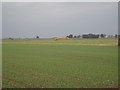
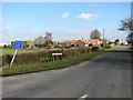
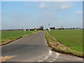
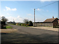
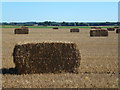
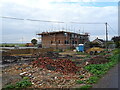

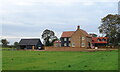
23 photos from this area
Area Information
Key information about the PE34 3NY including its size, population, and administrative classification.
- Area Type
- Postcode
- Area Size
- 1.1 km²
- Population
- 1682
- Population Density
- 39 people/km²
House Prices in PE34 3NY
34
Properties
£226,313
Average Sold Price
£95,000
Lowest Price
£535,000
Highest Price
Showing 34 properties
| Address | Type | Beds | Baths | Last Sale Price | Last Sale Date | |
|---|---|---|---|---|---|---|
| Meadow End, Cuckoo Road, Stow Bridge, PE34 3NY | Bungalow | 3 | 1 | £168,000 | Jan 2025 | |
| Dolver Farmhouse, Cuckoo Road, Stow Bridge, PE34 3NY | house | - | - | £205,000 | Aug 2022 | |
| Home Farm Cottage, Cuckoo Road, Stow Bridge, PE34 3NY | Land | - | - | £210,000 | Mar 2022 | |
| The Gables, Cuckoo Road, Stow Bridge, PE34 3NY | house | - | - | £535,000 | Nov 2020 | |
| Sycamore House, Cuckoo Road, Stow Bridge, PE34 3NY | Detached | 2 | 1 | £135,000 | Nov 2017 | |
| Fernleigh, Cuckoo Road, Stow Bridge, PE34 3NY | Detached | 5 | - | £375,000 | Jul 2016 | |
| Tamara, Cuckoo Road, Stow Bridge, PE34 3NY | Detached | 2 | - | £160,000 | Sep 2013 | |
| The Fledgling, Cuckoo Road, Stow Bridge, PE34 3NY | Bungalow | 3 | 2 | £189,000 | Oct 2007 | |
| Dexter Cottage, Cuckoo Road, Stow Bridge, PE34 3NY | Bungalow | 2 | 1 | £245,000 | Jul 2007 | |
| Paddock View, Cuckoo Road, Stow Bridge, PE34 3NY | Detached | - | - | £345,000 | May 2007 |
Page 1 of 4
Energy Efficiency in PE34 3NY
Amenities
Schools
| Rank | School | Type | Entry gender | Ages |
|---|
Explore more schools in this area
Go to Schools tabDemographics
Household Size
Two person
most common
Accommodation Type
Houses
most common
Tenure
75
majority
Ethnic Group
White
most common
Religion
N/A
most common
Household Composition
N/A
most common
Age
47
median
Adults (30-64 years)
most common
Household Deprivation
N/A
with no deprivation
NS-SEC
28
in Lower managerial occupations
Explore more demographic insights in this area
Go to Demographics tabPlanning
Planning Constraints
- Flood RiskPremium
- Ramsar Wetland SitesPremium
- Area of Outstanding Natural BeautyPremium
- Protected Nature ReservePremium
- Protected WoodlandPremium