Area Overview for PE38 0BE
Photos of PE38 0BE
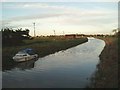
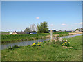
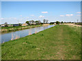
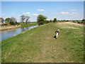
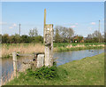
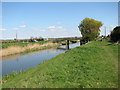
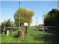
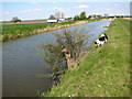
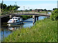
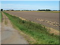
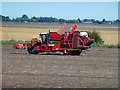
29 photos from this area
Area Information
Key information about the PE38 0BE including its size, population, and administrative classification.
- Area Type
- Postcode
- Area Size
- 1.7 km²
- Population
- 1682
- Population Density
- 39 people/km²
House Prices in PE38 0BE
9
Properties
£332,989
Average Sold Price
£64,000
Lowest Price
£800,000
Highest Price
Showing 9 properties
| Address | Type | Beds | Baths | Last Sale Price | Last Sale Date | |
|---|---|---|---|---|---|---|
| Jardene, Downham Road, Salters Lode, PE38 0BE | Bungalow | 3 | 1 | £200,000 | Jun 2025 | |
| Throwers Farm, Downham Road, Salters Lode, PE38 0BE | Detached | 5 | 2 | £800,000 | Jun 2024 | |
| Fendale, Downham Road, Salters Lode, PE38 0BE | Bungalow | 2 | 1 | £400,950 | May 2021 | |
| Cullen, Downham Road, Salters Lode, PE38 0BE | Detached | 3 | - | £199,995 | Jun 2016 | |
| Homestead Farm, Downham Road, Salters Lode, PE38 0BE | Detached | - | - | £64,000 | Jan 1998 | |
| Ashleys Kennels, Holly Farmhouse, Downham Road, Salters Lode, PE38 0BE | house | - | - | - | - | |
| Boundary Farm, Downham Road, Salters Lode, PE38 0BE | Bungalow | - | - | - | - | |
| Creek Farm, Downham Road, Salters Lode, PE38 0BE | house | - | - | - | - | |
| Straw Hall, Downham Road, Salters Lode, PE38 0BE | undefined | - | - | - | - |
Energy Efficiency in PE38 0BE
Amenities
Schools
| Rank | School | Type | Entry gender | Ages |
|---|
Explore more schools in this area
Go to Schools tabDemographics
Household Size
Two person
most common
Accommodation Type
Houses
most common
Tenure
75
majority
Ethnic Group
White
most common
Religion
N/A
most common
Household Composition
N/A
most common
Age
47
median
Adults (30-64 years)
most common
Household Deprivation
N/A
with no deprivation
NS-SEC
28
in Lower managerial occupations
Explore more demographic insights in this area
Go to Demographics tabPlanning
Planning Constraints
- Flood RiskPremium
- Ramsar Wetland SitesPremium
- Area of Outstanding Natural BeautyPremium
- Protected Nature ReservePremium
- Protected WoodlandPremium