Area Overview for NR12 8EA
Photos of NR12 8EA
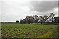
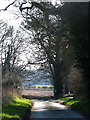
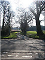
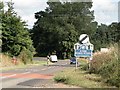
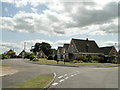
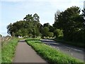
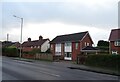
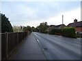
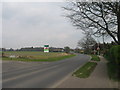
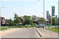
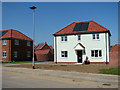
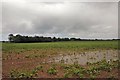
25 photos from this area
Area Information
Key information about the NR12 8EA including its size, population, and administrative classification.
- Area Type
- Postcode
- Area Size
- 2.7 hectares
- Population
- 2298
- Population Density
- 154 people/km²
House Prices in NR12 8EA
39
Properties
£137,900
Average Sold Price
£15,940
Lowest Price
£312,000
Highest Price
Showing 39 properties
| Address | Type | Beds | Baths | Last Sale Price | Last Sale Date | |
|---|---|---|---|---|---|---|
| 8 Grange Close, Hoveton, NR12 8EA | Semi-detached | 4 | 2 | £312,000 | Mar 2025 | |
| 6 Grange Close, Hoveton, NR12 8EA | Semi-detached | 3 | 1 | £247,000 | Nov 2024 | |
| 18 Grange Close, Hoveton, NR12 8EA | Semi-detached | 2 | 1 | £275,000 | Jul 2024 | |
| 2 Grange Close, Hoveton, NR12 8EA | Semi-detached | 2 | 1 | £185,000 | Nov 2019 | |
| 19 Grange Close, Hoveton, NR12 8EA | house | - | - | £210,000 | Apr 2019 | |
| 20 Grange Close, Hoveton, NR12 8EA | house | - | - | £166,007 | Oct 2014 | |
| 12 Grange Close, Hoveton, NR12 8EA | house | 2 | - | £143,000 | Mar 2011 | |
| 134 Grange Close, Hoveton, NR12 8EA | Semi-detached | - | - | £131,000 | Feb 2005 | |
| 135 Grange Close, Hoveton, NR12 8EA | house | - | - | £49,500 | Jan 2003 | |
| 13 Grange Close, Hoveton, NR12 8EA | Semi-detached | - | - | £94,000 | Aug 2002 |
Page 1 of 4
Energy Efficiency in NR12 8EA
Amenities
Schools
| Rank | School | Type | Entry gender | Ages |
|---|
Explore more schools in this area
Go to Schools tabDemographics
Household Size
Two person
most common
Accommodation Type
Houses
most common
Tenure
74
majority
Ethnic Group
White
most common
Religion
N/A
most common
Household Composition
N/A
most common
Age
47
median
Elderly (65+ years)
most common
Household Deprivation
N/A
with no deprivation
NS-SEC
29
in Lower managerial occupations
Explore more demographic insights in this area
Go to Demographics tabPlanning
Planning Constraints
- Flood RiskPremium
- Ramsar Wetland SitesPremium
- Area of Outstanding Natural BeautyPremium
- Protected Nature ReservePremium
- Protected WoodlandPremium