Area Overview for NR12 8EF
Photos of NR12 8EF
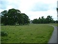
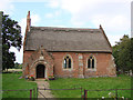
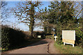
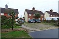
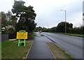
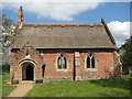
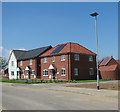
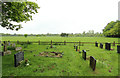
20 photos from this area
Area Information
Key information about the NR12 8EF including its size, population, and administrative classification.
- Area Type
- Postcode
- Area Size
- 9.5 hectares
- Population
- 2298
- Population Density
- 154 people/km²
House Prices in NR12 8EF
40
Properties
£159,566
Average Sold Price
£36,500
Lowest Price
£255,000
Highest Price
Showing 40 properties
| Address | Type | Beds | Baths | Last Sale Price | Last Sale Date | |
|---|---|---|---|---|---|---|
| 123 Stalham Road, Hoveton, NR12 8EF | house | - | - | £250,000 | Dec 2022 | |
| 133 Stalham Road, Hoveton, NR12 8EF | house | - | - | £250,000 | Sep 2022 | |
| 97 Stalham Road, Hoveton, NR12 8EF | house | - | - | £255,000 | Jun 2022 | |
| 135 Stalham Road, Hoveton, NR12 8EF | house | - | - | £252,500 | Jun 2021 | |
| 61 Stalham Road, Hoveton, NR12 8EF | house | - | - | £225,000 | Feb 2021 | |
| 111 Stalham Road, Hoveton, NR12 8EF | Semi-detached | 3 | 1 | £210,000 | Oct 2018 | |
| 71 Stalham Road, Hoveton, NR12 8EF | house | - | - | £171,000 | Sep 2018 | |
| 139 Stalham Road, Hoveton, NR12 8EF | Semi-detached | 2 | - | £210,000 | Sep 2016 | |
| 107 Stalham Road, Hoveton, NR12 8EF | house | 3 | 1 | £142,000 | May 2012 | |
| 63 Stalham Road, Hoveton, NR12 8EF | Semi-detached | 3 | 1 | £125,000 | Sep 2011 |
Page 1 of 4
Energy Efficiency in NR12 8EF
Amenities
Schools
| Rank | School | Type | Entry gender | Ages |
|---|
Explore more schools in this area
Go to Schools tabDemographics
Household Size
Two person
most common
Accommodation Type
Houses
most common
Tenure
74
majority
Ethnic Group
White
most common
Religion
N/A
most common
Household Composition
N/A
most common
Age
47
median
Elderly (65+ years)
most common
Household Deprivation
N/A
with no deprivation
NS-SEC
29
in Lower managerial occupations
Explore more demographic insights in this area
Go to Demographics tabPlanning
Planning Constraints
- Flood RiskPremium
- Ramsar Wetland SitesPremium
- Area of Outstanding Natural BeautyPremium
- Protected Nature ReservePremium
- Protected WoodlandPremium