Area Overview for NP10 8GW
Photos of NP10 8GW
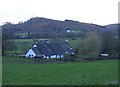
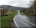
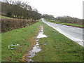
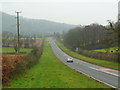
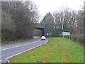

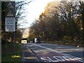
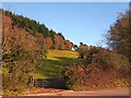
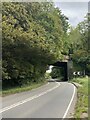
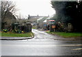
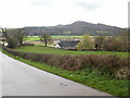
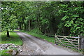
19 photos from this area
Area Information
Key information about the NP10 8GW including its size, population, and administrative classification.
- Area Type
- Postcode
- Area Size
- 20.4 hectares
- Population
- 1933
- Population Density
- 168 people/km²
House Prices in NP10 8GW
6
Properties
£768,125
Average Sold Price
£685,000
Lowest Price
£910,000
Highest Price
Showing 6 properties
| Address | Type | Beds | Baths | Last Sale Price | Last Sale Date | |
|---|---|---|---|---|---|---|
| Old Station House, Church Road, Lower Machen, Newport, NP10 8GW | Detached | 5 | 2 | £910,000 | Oct 2024 | |
| Maendy Isaf, Church Road, Lower Machen, Newport, NP10 8GW | Detached | 4 | 3 | £755,000 | Sep 2020 | |
| Cwrt Cerryg, Church Road, Lower Machen, Newport, NP10 8GW | Detached | 4 | 3 | £685,000 | Feb 2018 | |
| Dellmay, Church Road, Lower Machen, Newport, NP10 8GW | Detached | 5 | 3 | £722,500 | Nov 2017 | |
| Annexe, Old Station House, Church Road, Lower Machen, Newport, NP10 8GW | Flat | - | - | - | - | |
| Machen Fach Farm, Caerphilly Road, Newport, NP10 8GW | storage_distribution | - | - | - | - |
Energy Efficiency in NP10 8GW
Amenities
Schools
| Rank | School | Type | Entry gender | Ages |
|---|
Explore more schools in this area
Go to Schools tabDemographics
Household Size
Family (3-5 people)
most common
Accommodation Type
Houses
most common
Tenure
87
majority
Ethnic Group
White
most common
Religion
N/A
most common
Household Composition
N/A
most common
Age
47
median
Adults (30-64 years)
most common
Household Deprivation
N/A
with no deprivation
NS-SEC
49
in Lower managerial occupations
Explore more demographic insights in this area
Go to Demographics tabPlanning
Planning Constraints
- Flood RiskPremium
- Ramsar Wetland SitesPremium
- Area of Outstanding Natural BeautyPremium
- Protected Nature ReservePremium
- Protected WoodlandPremium
- Crime RiskPremium