Area Overview for NP10 8RP
Photos of NP10 8RP
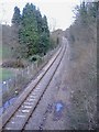
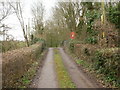
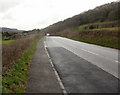

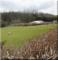
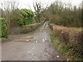
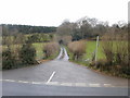
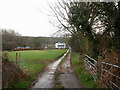
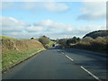
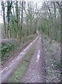
10 photos from this area
Area Information
Key information about the NP10 8RP including its size, population, and administrative classification.
- Area Type
- Postcode
- Area Size
- 1.8 km²
- Population
- 1933
- Population Density
- 168 people/km²
House Prices in NP10 8RP
11
Properties
£416,667
Average Sold Price
£120,000
Lowest Price
£770,000
Highest Price
Showing 11 properties
| Address | Type | Beds | Baths | Last Sale Price | Last Sale Date | |
|---|---|---|---|---|---|---|
| Oakfield House, Caerphilly Road, Newport, NP10 8RP | Detached | 4 | - | £360,000 | May 2022 | |
| Neuadda Barn, Caerphilly Road, Newport, NP10 8RP | Detached | - | - | £770,000 | Dec 2010 | |
| Maypole House, Caerphilly Road, Newport, NP10 8RP | Semi-detached | 2 | 2 | £120,000 | Jun 2005 | |
| Y-neuadd, Caerphilly Road, Newport, NP10 8RP | house | 4 | - | - | - | |
| Trewen House, Caerphilly Road, Newport, NP10 8RP | Detached | - | - | - | - | |
| The Maypole, Caerphilly Road, Newport, NP10 8RP | house | - | - | - | - | |
| Dan Y Coed, Caerphilly Road, Newport, NP10 8RP | Detached | - | - | - | - | |
| Tynyfynnon Farm, Caerphilly Road, Newport, NP10 8RP | Detached | - | - | - | - | |
| Park Cottage, Caerphilly Road, Newport, NP10 8RP | Detached | - | - | - | - | |
| Wern Farm, Caerphilly Road, Newport, NP10 8RP | storage_distribution | - | - | - | - |
Page 1 of 2
Energy Efficiency in NP10 8RP
Amenities
Schools
| Rank | School | Type | Entry gender | Ages |
|---|
Explore more schools in this area
Go to Schools tabDemographics
Household Size
Family (3-5 people)
most common
Accommodation Type
Houses
most common
Tenure
87
majority
Ethnic Group
White
most common
Religion
N/A
most common
Household Composition
N/A
most common
Age
47
median
Adults (30-64 years)
most common
Household Deprivation
N/A
with no deprivation
NS-SEC
49
in Lower managerial occupations
Explore more demographic insights in this area
Go to Demographics tabPlanning
Planning Constraints
- Flood RiskPremium
- Ramsar Wetland SitesPremium
- Area of Outstanding Natural BeautyPremium
- Protected Nature ReservePremium
- Protected WoodlandPremium
- Crime RiskPremium