Area Overview for B93 9LR
Photos of B93 9LR
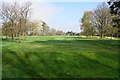
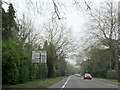
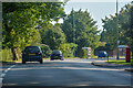
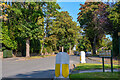
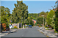
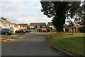
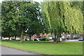
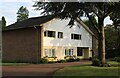
23 photos from this area
Area Information
Key information about the B93 9LR including its size, population, and administrative classification.
- Area Type
- Postcode
- Area Size
- 2.1 hectares
- Population
- 1658
- Population Density
- 592 people/km²
House Prices in B93 9LR
11
Properties
£871,380
Average Sold Price
£249,900
Lowest Price
£1,255,000
Highest Price
Showing 11 properties
| Address | Type | Beds | Baths | Last Sale Price | Last Sale Date | |
|---|---|---|---|---|---|---|
| 1401 Warwick Road, Knowle, Solihull, B93 9LR | house | - | - | £1,255,000 | Jun 2019 | |
| 1393 Warwick Road, Knowle, Solihull, B93 9LR | Detached | 6 | 3 | £1,190,000 | Mar 2014 | |
| 1391 Warwick Road, Knowle, Solihull, B93 9LR | house | 5 | - | £790,000 | Mar 2011 | |
| 1399 Warwick Road, Knowle, Solihull, B93 9LR | Detached | - | - | £872,000 | Nov 2006 | |
| 1395 Warwick Road, Knowle, Solihull, B93 9LR | Detached | - | - | £249,900 | Jul 1998 | |
| 1405A Warwick Road, Knowle, Solihull, B93 9LR | Semi-detached | 4 | 3 | - | - | |
| Keepers Cottage, 1405B Warwick Road, Knowle, Solihull, B93 9LR | Detached | 4 | - | - | - | |
| 1405 Warwick Road, Knowle, Solihull, B93 9LR | Semi-detached | - | - | - | - | |
| 1397 Warwick Road, Knowle, Solihull, B93 9LR | Detached | 3 | 3 | - | - | |
| 1403 Warwick Road, Knowle, Solihull, B93 9LR | house | - | - | - | - |
Page 1 of 2
Energy Efficiency in B93 9LR
Amenities
Schools
| Rank | School | Type | Entry gender | Ages |
|---|
Explore more schools in this area
Go to Schools tabDemographics
Household Size
Two person
most common
Accommodation Type
Houses
most common
Tenure
88
majority
Ethnic Group
White
most common
Religion
N/A
most common
Household Composition
N/A
most common
Age
47
median
Elderly (65+ years)
most common
Household Deprivation
N/A
with no deprivation
NS-SEC
55
in Lower managerial occupations
Explore more demographic insights in this area
Go to Demographics tabPlanning
Planning Constraints
- Flood RiskPremium
- Ramsar Wetland SitesPremium
- Area of Outstanding Natural BeautyPremium
- Protected Nature ReservePremium
- Protected WoodlandPremium