Area Overview for B93 9LQ
Photos of B93 9LQ
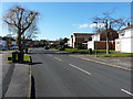
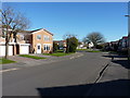
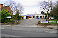
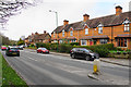

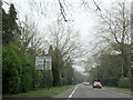

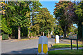
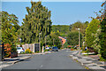
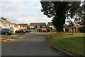
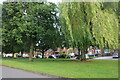

23 photos from this area
Area Information
Key information about the B93 9LQ including its size, population, and administrative classification.
- Area Type
- Postcode
- Area Size
- 21.6 hectares
- Population
- 1531
- Population Density
- 1596 people/km²
House Prices in B93 9LQ
49
Properties
£2,334,422
Average Sold Price
£97,500
Lowest Price
£32,570,000
Highest Price
Showing 49 properties
| Address | Type | Beds | Baths | Last Sale Price | Last Sale Date | |
|---|---|---|---|---|---|---|
| 1306 Warwick Road, Knowle, Solihull, B93 9LQ | house | - | - | £335,000 | Feb 2025 | |
| 1330 Warwick Road, Knowle, Solihull, B93 9LQ | Semi-detached | 4 | 2 | £510,000 | Dec 2023 | |
| 1308 Warwick Road, Knowle, Solihull, B93 9LQ | house | - | - | £400,000 | Jan 2022 | |
| 1304 Warwick Road, Knowle, Solihull, B93 9LQ | house | - | - | £350,000 | Jun 2021 | |
| 1314 Warwick Road, Knowle, Solihull, B93 9LQ | house | 3 | - | £446,950 | Dec 2020 | |
| 1320 Warwick Road, Knowle, Solihull, B93 9LQ | house | - | - | £390,000 | Mar 2018 | |
| Birchmere Retirement And Care Home, 1270 Warwick Road, Knowle, Solihull, B93 9LQ | Retirement | - | - | £32,570,000 | Jul 2014 | |
| Longdon Hall, 1260 Warwick Road, Knowle, Solihull, B93 9LQ | house | - | - | £850,000 | Jun 2011 | |
| 1316 Warwick Road, Knowle, Solihull, B93 9LQ | Semi-detached | - | - | £211,800 | Jul 2009 | |
| 1332 Warwick Road, Knowle, Solihull, B93 9LQ | house | - | - | £429,000 | Apr 2006 |
Page 1 of 5
Energy Efficiency in B93 9LQ
Amenities
Schools
| Rank | School | Type | Entry gender | Ages |
|---|
Explore more schools in this area
Go to Schools tabDemographics
Household Size
Family (3-5 people)
most common
Accommodation Type
Houses
most common
Tenure
94
majority
Ethnic Group
White
most common
Religion
N/A
most common
Household Composition
N/A
most common
Age
47
median
Adults (30-64 years)
most common
Household Deprivation
N/A
with no deprivation
NS-SEC
56
in Lower managerial occupations
Explore more demographic insights in this area
Go to Demographics tabPlanning
Planning Constraints
- Flood RiskPremium
- Ramsar Wetland SitesPremium
- Area of Outstanding Natural BeautyPremium
- Protected Nature ReservePremium
- Protected WoodlandPremium