Area Overview for B93 9PR
Photos of B93 9PR
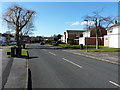
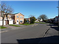
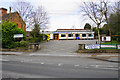
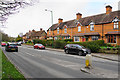

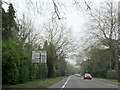

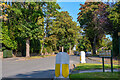
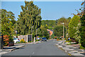
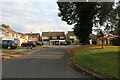
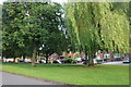
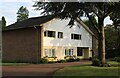
23 photos from this area
Area Information
Key information about the B93 9PR including its size, population, and administrative classification.
- Area Type
- Postcode
- Area Size
- 3.9 hectares
- Population
- 1531
- Population Density
- 1596 people/km²
House Prices in B93 9PR
27
Properties
£477,625
Average Sold Price
£60,000
Lowest Price
£790,000
Highest Price
Showing 27 properties
| Address | Type | Beds | Baths | Last Sale Price | Last Sale Date | |
|---|---|---|---|---|---|---|
| 34 High Trees Road, Knowle, Solihull, B93 9PR | Detached | 3 | 2 | £650,000 | Dec 2023 | |
| 16 High Trees Road, Knowle, Solihull, B93 9PR | Detached | 4 | 3 | £790,000 | Nov 2023 | |
| 26 High Trees Road, Knowle, Solihull, B93 9PR | house | - | - | £790,000 | Jun 2021 | |
| 2 High Trees Road, Knowle, Solihull, B93 9PR | Detached | 4 | - | £602,500 | Oct 2019 | |
| 21 High Trees Road, Knowle, Solihull, B93 9PR | Detached | 5 | 2 | £716,000 | Jan 2018 | |
| 4 High Trees Road, Knowle, Solihull, B93 9PR | Detached | 4 | 2 | £435,000 | Feb 2013 | |
| 19 High Trees Road, Knowle, Solihull, B93 9PR | house | - | - | £465,000 | Jul 2011 | |
| 8 High Trees Road, Knowle, Solihull, B93 9PR | house | - | - | £305,000 | Nov 2009 | |
| 32 High Trees Road, Knowle, Solihull, B93 9PR | Detached | 4 | 2 | £450,000 | Sep 2004 | |
| 24 High Trees Road, Knowle, Solihull, B93 9PR | house | - | - | £280,000 | May 2001 |
Page 1 of 3
Energy Efficiency in B93 9PR
Amenities
Schools
| Rank | School | Type | Entry gender | Ages |
|---|
Explore more schools in this area
Go to Schools tabDemographics
Household Size
Family (3-5 people)
most common
Accommodation Type
Houses
most common
Tenure
94
majority
Ethnic Group
White
most common
Religion
N/A
most common
Household Composition
N/A
most common
Age
47
median
Adults (30-64 years)
most common
Household Deprivation
N/A
with no deprivation
NS-SEC
56
in Lower managerial occupations
Explore more demographic insights in this area
Go to Demographics tabPlanning
Planning Constraints
- Flood RiskPremium
- Ramsar Wetland SitesPremium
- Area of Outstanding Natural BeautyPremium
- Protected Nature ReservePremium
- Protected WoodlandPremium