Area Overview for B93 9PS
Photos of B93 9PS
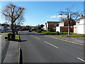
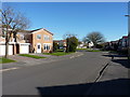
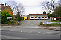
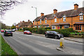
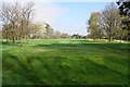
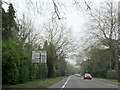
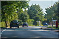
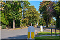
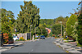
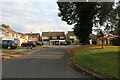
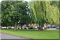
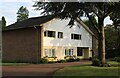
23 photos from this area
Area Information
Key information about the B93 9PS including its size, population, and administrative classification.
- Area Type
- Postcode
- Area Size
- 3.4 hectares
- Population
- 1531
- Population Density
- 1596 people/km²
House Prices in B93 9PS
45
Properties
£402,094
Average Sold Price
£148,000
Lowest Price
£760,000
Highest Price
Showing 45 properties
| Address | Type | Beds | Baths | Last Sale Price | Last Sale Date | |
|---|---|---|---|---|---|---|
| 52 Langfield Road, Knowle, Solihull, B93 9PS | Detached | 3 | 2 | £248,000 | Feb 2024 | |
| 62 Langfield Road, Knowle, Solihull, B93 9PS | house | 3 | 2 | £530,000 | Jan 2024 | |
| 71 Langfield Road, Knowle, Solihull, B93 9PS | house | - | - | £665,000 | May 2023 | |
| 43 Langfield Road, Knowle, Solihull, B93 9PS | house | - | - | £560,000 | Sep 2022 | |
| 45 Langfield Road, Knowle, Solihull, B93 9PS | house | - | - | £685,000 | Oct 2021 | |
| 57 Langfield Road, Knowle, Solihull, B93 9PS | house | - | - | £473,000 | Jun 2021 | |
| 74 Langfield Road, Knowle, Solihull, B93 9PS | house | - | - | £760,000 | Jan 2021 | |
| 55 Langfield Road, Knowle, Solihull, B93 9PS | Detached | 3 | - | £450,000 | Oct 2020 | |
| 59 Langfield Road, Knowle, Solihull, B93 9PS | house | - | - | £599,950 | Oct 2020 | |
| 69 Langfield Road, Knowle, Solihull, B93 9PS | house | - | - | £460,000 | Apr 2018 |
Page 1 of 5
Energy Efficiency in B93 9PS
Amenities
Schools
| Rank | School | Type | Entry gender | Ages |
|---|
Explore more schools in this area
Go to Schools tabDemographics
Household Size
Family (3-5 people)
most common
Accommodation Type
Houses
most common
Tenure
94
majority
Ethnic Group
White
most common
Religion
N/A
most common
Household Composition
N/A
most common
Age
47
median
Adults (30-64 years)
most common
Household Deprivation
N/A
with no deprivation
NS-SEC
56
in Lower managerial occupations
Explore more demographic insights in this area
Go to Demographics tabPlanning
Planning Constraints
- Flood RiskPremium
- Ramsar Wetland SitesPremium
- Area of Outstanding Natural BeautyPremium
- Protected Nature ReservePremium
- Protected WoodlandPremium