Area Overview for B74 3QE
Photos of B74 3QE
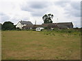
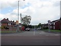
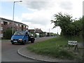
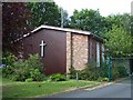
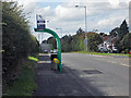
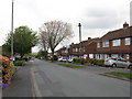
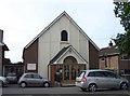
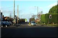
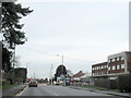
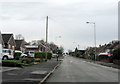
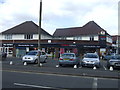
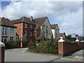
16 photos from this area
Area Information
Key information about the B74 3QE including its size, population, and administrative classification.
- Area Type
- Postcode
- Area Size
- 1.5 hectares
- Population
- 1471
- Population Density
- 5000 people/km²
House Prices in B74 3QE
34
Properties
£214,727
Average Sold Price
£58,500
Lowest Price
£488,000
Highest Price
Showing 34 properties
| Address | Type | Beds | Baths | Last Sale Price | Last Sale Date | |
|---|---|---|---|---|---|---|
| 79 Bridle Lane, Streetly, B74 3QE | Semi-detached | 4 | 2 | £488,000 | Jan 2025 | |
| 75 Bridle Lane, Streetly, B74 3QE | Semi-detached | 3 | 2 | £380,000 | Aug 2021 | |
| 67 Bridle Lane, Streetly, B74 3QE | Semi-detached | 5 | 2 | £425,000 | Jun 2021 | |
| 81 Bridle Lane, Streetly, B74 3QE | house | - | - | £326,000 | Sep 2018 | |
| 29 Bridle Lane, Streetly, B74 3QE | house | 3 | - | £350,000 | Feb 2018 | |
| 23 Bridle Lane, Streetly, B74 3QE | house | - | - | £345,000 | Jan 2018 | |
| 49 Bridle Lane, Streetly, B74 3QE | Semi-detached | 3 | - | £300,000 | Jul 2017 | |
| 27 Bridle Lane, Streetly, B74 3QE | Semi-detached | 3 | 1 | £195,000 | Jul 2016 | |
| 35 Bridle Lane, Streetly, B74 3QE | house | - | - | £245,000 | Mar 2016 | |
| 77 Bridle Lane, Streetly, B74 3QE | house | 3 | - | £249,950 | Jun 2015 |
Page 1 of 4
Energy Efficiency in B74 3QE
Amenities
Schools
| Rank | School | Type | Entry gender | Ages |
|---|
Explore more schools in this area
Go to Schools tabDemographics
Household Size
Family (3-5 people)
most common
Accommodation Type
Houses
most common
Tenure
91
majority
Ethnic Group
White
most common
Religion
N/A
most common
Household Composition
N/A
most common
Age
47
median
Adults (30-64 years)
most common
Household Deprivation
N/A
with no deprivation
NS-SEC
37
in Lower managerial occupations
Explore more demographic insights in this area
Go to Demographics tabPlanning
Planning Constraints
- Flood RiskPremium
- Ramsar Wetland SitesPremium
- Area of Outstanding Natural BeautyPremium
- Protected Nature ReservePremium
- Protected WoodlandPremium