Area Overview for B74 3QT
Photos of B74 3QT
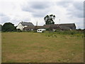
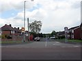
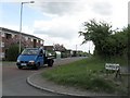
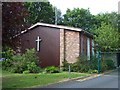
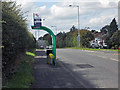
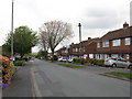
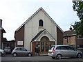
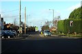
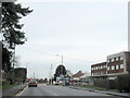
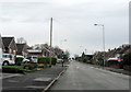
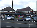
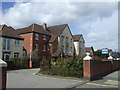
16 photos from this area
Area Information
Key information about the B74 3QT including its size, population, and administrative classification.
- Area Type
- Postcode
- Area Size
- 1.3 hectares
- Population
- 1695
- Population Density
- 2255 people/km²
House Prices in B74 3QT
35
Properties
£213,995
Average Sold Price
£74,000
Lowest Price
£435,000
Highest Price
Showing 35 properties
| Address | Type | Beds | Baths | Last Sale Price | Last Sale Date | |
|---|---|---|---|---|---|---|
| 105 Bridle Lane, Streetly, B74 3QT | Semi-detached | 4 | 2 | £350,000 | Jul 2024 | |
| 137 Bridle Lane, Streetly, B74 3QT | Semi-detached | 2 | 1 | £246,000 | Apr 2024 | |
| 143 Bridle Lane, Streetly, B74 3QT | house | 2 | - | £255,000 | Dec 2021 | |
| 167 Bridle Lane, Streetly, B74 3QT | house | - | - | £278,000 | Aug 2021 | |
| 139 Bridle Lane, Streetly, B74 3QT | Semi-detached | 2 | 1 | £253,000 | Jul 2021 | |
| 133 Bridle Lane, Streetly, B74 3QT | house | - | - | £99,000 | Nov 2020 | |
| 127 Bridle Lane, Streetly, B74 3QT | Semi-detached | 4 | 2 | £435,000 | Apr 2020 | |
| 123 Bridle Lane, Streetly, B74 3QT | Semi-detached | 3 | 1 | £298,200 | Jan 2020 | |
| 101 Bridle Lane, Streetly, B74 3QT | Semi-detached | 3 | 1 | £220,000 | Aug 2019 | |
| 131 Bridle Lane, Streetly, B74 3QT | Semi-detached | 3 | 1 | £250,000 | Jan 2019 |
Page 1 of 4
Energy Efficiency in B74 3QT
Amenities
Schools
| Rank | School | Type | Entry gender | Ages |
|---|
Explore more schools in this area
Go to Schools tabDemographics
Household Size
Family (3-5 people)
most common
Accommodation Type
Houses
most common
Tenure
87
majority
Ethnic Group
White
most common
Religion
N/A
most common
Household Composition
N/A
most common
Age
47
median
Adults (30-64 years)
most common
Household Deprivation
N/A
with no deprivation
NS-SEC
40
in Lower managerial occupations
Explore more demographic insights in this area
Go to Demographics tabPlanning
Planning Constraints
- Flood RiskPremium
- Ramsar Wetland SitesPremium
- Area of Outstanding Natural BeautyPremium
- Protected Nature ReservePremium
- Protected WoodlandPremium