Area Overview for B74 3HB
Photos of B74 3HB
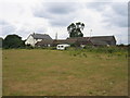
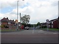
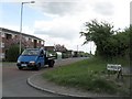
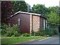
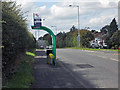
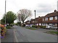
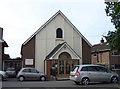
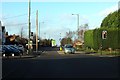
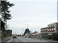
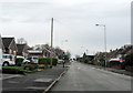
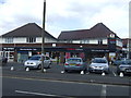
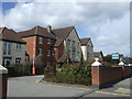
16 photos from this area
Area Information
Key information about the B74 3HB including its size, population, and administrative classification.
- Area Type
- Postcode
- Area Size
- 9534 m²
- Population
- 1471
- Population Density
- 5000 people/km²
House Prices in B74 3HB
19
Properties
£254,071
Average Sold Price
£110,000
Lowest Price
£427,000
Highest Price
Showing 19 properties
| Address | Type | Beds | Baths | Last Sale Price | Last Sale Date | |
|---|---|---|---|---|---|---|
| 8 Bridle Lane, Streetly, B74 3HB | Semi-detached | 3 | 2 | £335,000 | Jun 2023 | |
| 52 Bridle Lane, Streetly, B74 3HB | house | - | - | £427,000 | Feb 2022 | |
| 6 Bridle Lane, Streetly, B74 3HB | house | - | - | £382,500 | Jun 2021 | |
| 10 Bridle Lane, Streetly, B74 3HB | house | - | - | £214,000 | Nov 2011 | |
| 2 Bridle Lane, Streetly, B74 3HB | Semi-detached | - | - | £190,000 | Aug 2006 | |
| 14 Bridle Lane, Streetly, B74 3HB | Semi-detached | - | - | £110,000 | Apr 2002 | |
| 58 Bridle Lane, Streetly, B74 3HB | Detached | - | - | £120,000 | Jan 1999 | |
| 22 Bridle Lane, Streetly, B74 3HB | Detached | 3 | 2 | - | - | |
| 26 Bridle Lane, Streetly, B74 3HB | Detached | - | - | - | - | |
| Mcj Solutions, 18 Bridle Lane, Streetly, B74 3HB | Semi-detached | - | - | - | - |
Page 1 of 2
Energy Efficiency in B74 3HB
Amenities
Schools
| Rank | School | Type | Entry gender | Ages |
|---|
Explore more schools in this area
Go to Schools tabDemographics
Household Size
Family (3-5 people)
most common
Accommodation Type
Houses
most common
Tenure
91
majority
Ethnic Group
White
most common
Religion
N/A
most common
Household Composition
N/A
most common
Age
47
median
Adults (30-64 years)
most common
Household Deprivation
N/A
with no deprivation
NS-SEC
37
in Lower managerial occupations
Explore more demographic insights in this area
Go to Demographics tabPlanning
Planning Constraints
- Flood RiskPremium
- Ramsar Wetland SitesPremium
- Area of Outstanding Natural BeautyPremium
- Protected Nature ReservePremium
- Protected WoodlandPremium