Area Overview for B44 8RE
Photos of B44 8RE
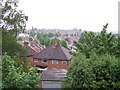
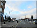
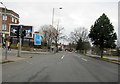

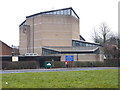
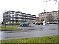
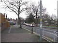
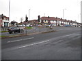
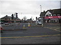
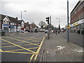
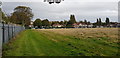
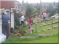
24 photos from this area
Area Information
Key information about the B44 8RE including its size, population, and administrative classification.
- Area Type
- Postcode
- Area Size
- 9545 m²
- Population
- 1590
- Population Density
- 6404 people/km²
House Prices in B44 8RE
31
Properties
£133,094
Average Sold Price
£33,000
Lowest Price
£215,000
Highest Price
Showing 31 properties
| Address | Type | Beds | Baths | Last Sale Price | Last Sale Date | |
|---|---|---|---|---|---|---|
| 25 Birdbrook Road, Birmingham, B44 8RE | house | - | - | £175,000 | Nov 2023 | |
| 55 Birdbrook Road, Birmingham, B44 8RE | house | 3 | 1 | £215,000 | Nov 2023 | |
| 71 Birdbrook Road, Birmingham, B44 8RE | Terraced | 2 | - | £206,000 | Jul 2022 | |
| 75 Birdbrook Road, Birmingham, B44 8RE | house | - | - | £178,000 | May 2022 | |
| 57 Birdbrook Road, Birmingham, B44 8RE | house | - | - | £170,000 | Nov 2021 | |
| 73 Birdbrook Road, Birmingham, B44 8RE | house | - | - | £150,000 | Mar 2020 | |
| 45 Birdbrook Road, Birmingham, B44 8RE | Terraced | 3 | 1 | £170,000 | Jun 2018 | |
| 47 Birdbrook Road, Birmingham, B44 8RE | Terraced | 3 | 1 | £137,000 | Jun 2017 | |
| 61 Birdbrook Road, Birmingham, B44 8RE | house | 3 | - | £125,000 | Nov 2015 | |
| 53 Birdbrook Road, Birmingham, B44 8RE | Terraced | 3 | 1 | £135,000 | Aug 2015 |
Page 1 of 4
Energy Efficiency in B44 8RE
Amenities
Schools
| Rank | School | Type | Entry gender | Ages |
|---|
Explore more schools in this area
Go to Schools tabDemographics
Household Size
Family (3-5 people)
most common
Accommodation Type
Houses
most common
Tenure
78
majority
Ethnic Group
White
most common
Religion
N/A
most common
Household Composition
N/A
most common
Age
47
median
Adults (30-64 years)
most common
Household Deprivation
N/A
with no deprivation
NS-SEC
24
in Lower managerial occupations
Explore more demographic insights in this area
Go to Demographics tabPlanning
Planning Constraints
- Flood RiskPremium
- Ramsar Wetland SitesPremium
- Area of Outstanding Natural BeautyPremium
- Protected Nature ReservePremium
- Protected WoodlandPremium