Area Overview for B44 8RT
Photos of B44 8RT
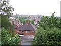
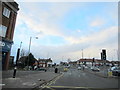
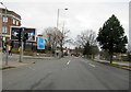

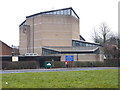
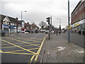
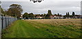
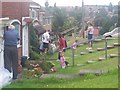
24 photos from this area
Area Information
Key information about the B44 8RT including its size, population, and administrative classification.
- Area Type
- Postcode
- Area Size
- 9717 m²
- Population
- 1590
- Population Density
- 6404 people/km²
House Prices in B44 8RT
27
Properties
£120,674
Average Sold Price
£43,000
Lowest Price
£215,000
Highest Price
Showing 27 properties
| Address | Type | Beds | Baths | Last Sale Price | Last Sale Date | |
|---|---|---|---|---|---|---|
| 99 Birdbrook Road, Birmingham, B44 8RT | Terraced | 3 | 1 | £215,000 | Nov 2023 | |
| 95 Birdbrook Road, Birmingham, B44 8RT | house | - | - | £195,000 | Jul 2023 | |
| 107 Birdbrook Road, Birmingham, B44 8RT | Terraced | 2 | 1 | £151,000 | Aug 2020 | |
| 103 Birdbrook Road, Birmingham, B44 8RT | Semi-detached | 3 | 1 | £150,000 | Oct 2019 | |
| 83 Birdbrook Road, Birmingham, B44 8RT | Semi-detached | 2 | 1 | £155,000 | Jul 2018 | |
| 85 Birdbrook Road, Birmingham, B44 8RT | Terraced | 3 | - | £131,000 | Oct 2017 | |
| 81 Birdbrook Road, Birmingham, B44 8RT | Terraced | 2 | 1 | £127,000 | Aug 2017 | |
| 121 Birdbrook Road, Birmingham, B44 8RT | house | - | - | £110,000 | Jun 2017 | |
| 129 Birdbrook Road, Birmingham, B44 8RT | house | 2 | - | £69,000 | Jun 2011 | |
| 119 Birdbrook Road, Birmingham, B44 8RT | house | - | - | £120,000 | Feb 2011 |
Page 1 of 3
Energy Efficiency in B44 8RT
Amenities
Schools
| Rank | School | Type | Entry gender | Ages |
|---|
Explore more schools in this area
Go to Schools tabDemographics
Household Size
Family (3-5 people)
most common
Accommodation Type
Houses
most common
Tenure
78
majority
Ethnic Group
White
most common
Religion
N/A
most common
Household Composition
N/A
most common
Age
47
median
Adults (30-64 years)
most common
Household Deprivation
N/A
with no deprivation
NS-SEC
24
in Lower managerial occupations
Explore more demographic insights in this area
Go to Demographics tabPlanning
Planning Constraints
- Flood RiskPremium
- Ramsar Wetland SitesPremium
- Area of Outstanding Natural BeautyPremium
- Protected Nature ReservePremium
- Protected WoodlandPremium