Area Overview for B32 1SS
Photos of B32 1SS
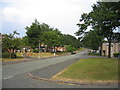
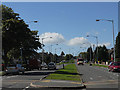
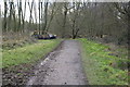
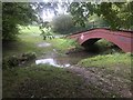
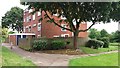
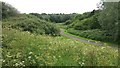
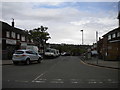
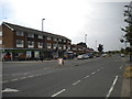
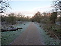
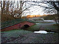
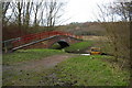
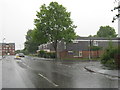
19 photos from this area
Area Information
Key information about the B32 1SS including its size, population, and administrative classification.
- Area Type
- Postcode
- Area Size
- 1.4 hectares
- Population
- 1700
- Population Density
- 2430 people/km²
House Prices in B32 1SS
42
Properties
£97,482
Average Sold Price
£56,050
Lowest Price
£175,000
Highest Price
Showing 42 properties
| Address | Type | Beds | Baths | Last Sale Price | Last Sale Date | |
|---|---|---|---|---|---|---|
| 148 Simmons Drive, Birmingham, B32 1SS | Terraced | 2 | 1 | £163,000 | Dec 2023 | |
| 136 Simmons Drive, Birmingham, B32 1SS | house | 2 | 1 | £175,000 | Nov 2022 | |
| 138 Simmons Drive, Birmingham, B32 1SS | Terraced | 3 | 1 | £141,000 | Jul 2021 | |
| 174 Simmons Drive, Birmingham, B32 1SS | Flat | 1 | - | £65,500 | Oct 2020 | |
| 166 Simmons Drive, Birmingham, B32 1SS | house | - | - | £56,050 | Sep 2017 | |
| 168 Simmons Drive, Birmingham, B32 1SS | Terraced | 2 | 2 | £94,000 | Dec 2015 | |
| 160 Simmons Drive, Birmingham, B32 1SS | Terraced | 3 | - | £81,000 | Dec 2014 | |
| 150 Simmons Drive, Birmingham, B32 1SS | house | 2 | - | £88,250 | Jan 2008 | |
| 186 Simmons Drive, Birmingham, B32 1SS | Flat | - | - | £64,000 | May 2007 | |
| 182 Simmons Drive, Birmingham, B32 1SS | Flat | 1 | - | £72,000 | Nov 2006 |
Page 1 of 5
Energy Efficiency in B32 1SS
Amenities
Schools
| Rank | School | Type | Entry gender | Ages |
|---|
Explore more schools in this area
Go to Schools tabDemographics
Household Size
One person
most common
Accommodation Type
Houses
most common
Tenure
36
majority
Ethnic Group
White
most common
Religion
N/A
most common
Household Composition
N/A
most common
Age
47
median
Adults (30-64 years)
most common
Household Deprivation
N/A
with no deprivation
NS-SEC
18
in Lower managerial occupations
Explore more demographic insights in this area
Go to Demographics tabPlanning
Planning Constraints
- Flood RiskPremium
- Ramsar Wetland SitesPremium
- Area of Outstanding Natural BeautyPremium
- Protected Nature ReservePremium
- Protected WoodlandPremium