Area Overview for B32 1SJ
Photos of B32 1SJ
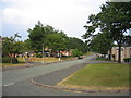
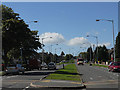
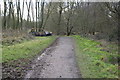
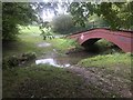
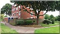
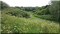
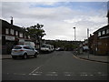
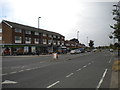
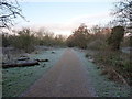
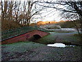
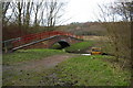
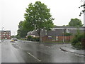
19 photos from this area
Area Information
Key information about the B32 1SJ including its size, population, and administrative classification.
- Area Type
- Postcode
- Area Size
- 1.3 hectares
- Population
- 1700
- Population Density
- 2430 people/km²
House Prices in B32 1SJ
62
Properties
£100,863
Average Sold Price
£28,000
Lowest Price
£195,000
Highest Price
Showing 62 properties
| Address | Type | Beds | Baths | Last Sale Price | Last Sale Date | |
|---|---|---|---|---|---|---|
| 67 Six Acres, Birmingham, B32 1SJ | Terraced | 3 | 1 | £195,000 | Jun 2025 | |
| 38 Six Acres, Birmingham, B32 1SJ | Detached | 3 | 1 | £146,500 | Nov 2019 | |
| 12 Six Acres, Birmingham, B32 1SJ | Terraced | 3 | 2 | £133,500 | Nov 2019 | |
| 32 Six Acres, Birmingham, B32 1SJ | Terraced | 3 | 1 | £129,500 | Mar 2018 | |
| 29 Six Acres, Birmingham, B32 1SJ | Terraced | 3 | 1 | £135,000 | Oct 2017 | |
| 37 Six Acres, Birmingham, B32 1SJ | house | 3 | - | £110,000 | Feb 2012 | |
| 63 Six Acres, Birmingham, B32 1SJ | Terraced | 3 | - | £99,000 | Mar 2007 | |
| 2 Six Acres, Birmingham, B32 1SJ | Flat | 1 | 1 | £63,000 | Nov 2006 | |
| 16 Six Acres, Birmingham, B32 1SJ | Terraced | - | - | £113,000 | Jul 2005 | |
| 25 Six Acres, Birmingham, B32 1SJ | Terraced | 3 | 1 | £117,000 | May 2005 |
Page 1 of 7
Energy Efficiency in B32 1SJ
Amenities
Schools
| Rank | School | Type | Entry gender | Ages |
|---|
Explore more schools in this area
Go to Schools tabDemographics
Household Size
One person
most common
Accommodation Type
Houses
most common
Tenure
36
majority
Ethnic Group
White
most common
Religion
N/A
most common
Household Composition
N/A
most common
Age
47
median
Adults (30-64 years)
most common
Household Deprivation
N/A
with no deprivation
NS-SEC
18
in Lower managerial occupations
Explore more demographic insights in this area
Go to Demographics tabPlanning
Planning Constraints
- Flood RiskPremium
- Ramsar Wetland SitesPremium
- Area of Outstanding Natural BeautyPremium
- Protected Nature ReservePremium
- Protected WoodlandPremium