Area Overview for B32 1SN
Photos of B32 1SN
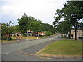
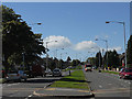
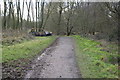
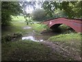
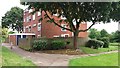
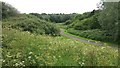
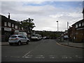
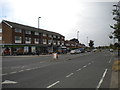
19 photos from this area
Area Information
Key information about the B32 1SN including its size, population, and administrative classification.
- Area Type
- Postcode
- Area Size
- 1.1 hectares
- Population
- 1700
- Population Density
- 2430 people/km²
House Prices in B32 1SN
48
Properties
£102,064
Average Sold Price
£39,000
Lowest Price
£160,000
Highest Price
Showing 48 properties
| Address | Type | Beds | Baths | Last Sale Price | Last Sale Date | |
|---|---|---|---|---|---|---|
| 17 Middle Leasow, Birmingham, B32 1SN | Terraced | 3 | 2 | £160,000 | Jan 2020 | |
| 81 Middle Leasow, Birmingham, B32 1SN | house | - | - | £132,000 | Sep 2018 | |
| 19 Middle Leasow, Birmingham, B32 1SN | Terraced | - | - | £130,000 | Nov 2017 | |
| 63 Middle Leasow, Birmingham, B32 1SN | Terraced | 3 | - | £130,000 | May 2017 | |
| 23 Middle Leasow, Birmingham, B32 1SN | Terraced | 3 | 1 | £120,000 | Jan 2017 | |
| 45 Middle Leasow, Birmingham, B32 1SN | Terraced | 3 | 1 | £93,750 | Sep 2015 | |
| 85 Middle Leasow, Birmingham, B32 1SN | Terraced | 3 | - | £82,500 | Jul 2014 | |
| 39 Middle Leasow, Birmingham, B32 1SN | Terraced | 3 | 1 | £92,500 | Jan 2004 | |
| 31 Middle Leasow, Birmingham, B32 1SN | Terraced | - | - | £88,000 | Nov 2003 | |
| 77 Middle Leasow, Birmingham, B32 1SN | Terraced | - | - | £54,950 | Mar 2002 |
Page 1 of 5
Energy Efficiency in B32 1SN
Amenities
Schools
| Rank | School | Type | Entry gender | Ages |
|---|
Explore more schools in this area
Go to Schools tabDemographics
Household Size
One person
most common
Accommodation Type
Houses
most common
Tenure
36
majority
Ethnic Group
White
most common
Religion
N/A
most common
Household Composition
N/A
most common
Age
47
median
Adults (30-64 years)
most common
Household Deprivation
N/A
with no deprivation
NS-SEC
18
in Lower managerial occupations
Explore more demographic insights in this area
Go to Demographics tabPlanning
Planning Constraints
- Flood RiskPremium
- Ramsar Wetland SitesPremium
- Area of Outstanding Natural BeautyPremium
- Protected Nature ReservePremium
- Protected WoodlandPremium