Area Overview for B32 1SD
Photos of B32 1SD
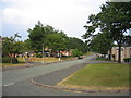
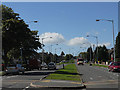
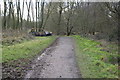
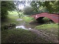
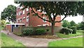
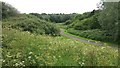
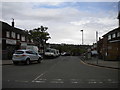
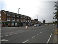
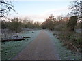
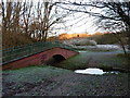
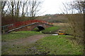
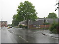
19 photos from this area
Area Information
Key information about the B32 1SD including its size, population, and administrative classification.
- Area Type
- Postcode
- Area Size
- 9542 m²
- Population
- 1700
- Population Density
- 2430 people/km²
House Prices in B32 1SD
38
Properties
£84,250
Average Sold Price
£39,000
Lowest Price
£120,000
Highest Price
Showing 38 properties
| Address | Type | Beds | Baths | Last Sale Price | Last Sale Date | |
|---|---|---|---|---|---|---|
| 326 Highfield Lane, Birmingham, B32 1SD | Terraced | 2 | 1 | £100,000 | Mar 2020 | |
| 342 Highfield Lane, Birmingham, B32 1SD | Terraced | 2 | 1 | £120,000 | May 2018 | |
| 382 Highfield Lane, Birmingham, B32 1SD | Flat | 1 | 1 | £65,000 | Feb 2018 | |
| 380 Highfield Lane, Birmingham, B32 1SD | Flat | - | - | £68,500 | Oct 2017 | |
| 302 Highfield Lane, Birmingham, B32 1SD | Semi-detached | 3 | 1 | £115,500 | Feb 2016 | |
| 346 Highfield Lane, Birmingham, B32 1SD | Terraced | 3 | 1 | £95,000 | Feb 2016 | |
| 334 Highfield Lane, Birmingham, B32 1SD | house | - | - | £82,000 | May 2012 | |
| 306 Highfield Lane, Birmingham, B32 1SD | Terraced | - | - | £110,000 | Apr 2006 | |
| 364 Highfield Lane, Birmingham, B32 1SD | house | 2 | 1 | £75,000 | Jul 2005 | |
| 304 Highfield Lane, Birmingham, B32 1SD | Terraced | 3 | - | £95,000 | Mar 2005 |
Page 1 of 4
Energy Efficiency in B32 1SD
Amenities
Schools
| Rank | School | Type | Entry gender | Ages |
|---|
Explore more schools in this area
Go to Schools tabDemographics
Household Size
One person
most common
Accommodation Type
Houses
most common
Tenure
36
majority
Ethnic Group
White
most common
Religion
N/A
most common
Household Composition
N/A
most common
Age
47
median
Adults (30-64 years)
most common
Household Deprivation
N/A
with no deprivation
NS-SEC
18
in Lower managerial occupations
Explore more demographic insights in this area
Go to Demographics tabPlanning
Planning Constraints
- Flood RiskPremium
- Ramsar Wetland SitesPremium
- Area of Outstanding Natural BeautyPremium
- Protected Nature ReservePremium
- Protected WoodlandPremium