Area Overview for B32 1SP
Photos of B32 1SP
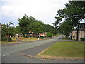
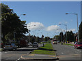
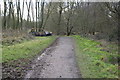
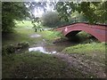
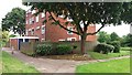
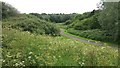
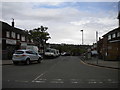
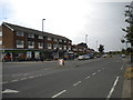
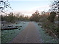
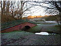
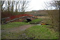
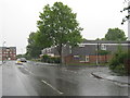
19 photos from this area
Area Information
Key information about the B32 1SP including its size, population, and administrative classification.
- Area Type
- Postcode
- Area Size
- 8.6 hectares
- Population
- 1700
- Population Density
- 2430 people/km²
House Prices in B32 1SP
62
Properties
£129,206
Average Sold Price
£38,500
Lowest Price
£230,000
Highest Price
Showing 62 properties
| Address | Type | Beds | Baths | Last Sale Price | Last Sale Date | |
|---|---|---|---|---|---|---|
| 173 Simmons Drive, Birmingham, B32 1SP | Terraced | 3 | - | £126,500 | Apr 2025 | |
| 187 Simmons Drive, Birmingham, B32 1SP | Flat | - | - | £85,000 | Mar 2025 | |
| 225 Simmons Drive, Birmingham, B32 1SP | Flat | - | - | £85,000 | Mar 2025 | |
| 231 Simmons Drive, Birmingham, B32 1SP | Semi-detached | 4 | 2 | £230,000 | Oct 2023 | |
| 249 Simmons Drive, Birmingham, B32 1SP | house | 2 | 1 | £172,000 | Jun 2022 | |
| 141 Simmons Drive, Birmingham, B32 1SP | house | - | - | £185,000 | Dec 2021 | |
| 159 Simmons Drive, Birmingham, B32 1SP | Terraced | 3 | 1 | £128,300 | Oct 2020 | |
| 229 Simmons Drive, Birmingham, B32 1SP | Terraced | 3 | 1 | £127,000 | Aug 2020 | |
| 255 Simmons Drive, Birmingham, B32 1SP | house | 2 | - | £130,000 | Nov 2019 | |
| 179 Simmons Drive, Birmingham, B32 1SP | Semi-detached | 3 | 1 | £135,000 | Mar 2019 |
Page 1 of 7
Energy Efficiency in B32 1SP
Amenities
Schools
| Rank | School | Type | Entry gender | Ages |
|---|
Explore more schools in this area
Go to Schools tabDemographics
Household Size
One person
most common
Accommodation Type
Houses
most common
Tenure
36
majority
Ethnic Group
White
most common
Religion
N/A
most common
Household Composition
N/A
most common
Age
47
median
Adults (30-64 years)
most common
Household Deprivation
N/A
with no deprivation
NS-SEC
18
in Lower managerial occupations
Explore more demographic insights in this area
Go to Demographics tabPlanning
Planning Constraints
- Flood RiskPremium
- Ramsar Wetland SitesPremium
- Area of Outstanding Natural BeautyPremium
- Protected Nature ReservePremium
- Protected WoodlandPremium