Area Overview for B28 9LJ
Photos of B28 9LJ
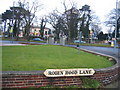
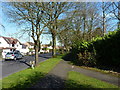
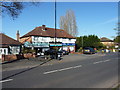
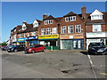
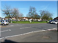
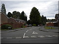
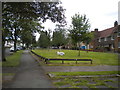

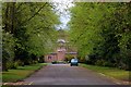
19 photos from this area
Area Information
Key information about the B28 9LJ including its size, population, and administrative classification.
- Area Type
- Postcode
- Area Size
- 1.5 hectares
- Population
- 1888
- Population Density
- 6065 people/km²
House Prices in B28 9LJ
44
Properties
£160,578
Average Sold Price
£50,000
Lowest Price
£315,000
Highest Price
Showing 44 properties
| Address | Type | Beds | Baths | Last Sale Price | Last Sale Date | |
|---|---|---|---|---|---|---|
| 35 Temple Avenue, Birmingham, B28 9LJ | house | - | - | £210,000 | Nov 2021 | |
| 19 Temple Avenue, Birmingham, B28 9LJ | house | - | - | £260,000 | Sep 2021 | |
| 55 Temple Avenue, Birmingham, B28 9LJ | house | - | - | £315,000 | Aug 2021 | |
| 53 Temple Avenue, Birmingham, B28 9LJ | house | - | - | £235,000 | Mar 2021 | |
| 20 Temple Avenue, Birmingham, B28 9LJ | Semi-detached | 3 | 1 | £228,000 | Sep 2020 | |
| 12 Temple Avenue, Birmingham, B28 9LJ | Semi-detached | 3 | 1 | £206,400 | Nov 2016 | |
| 33 Temple Avenue, Birmingham, B28 9LJ | Semi-detached | 3 | - | £185,000 | Mar 2015 | |
| 15 Temple Avenue, Birmingham, B28 9LJ | Semi-detached | 3 | 1 | £179,500 | Nov 2014 | |
| 40 Temple Avenue, Birmingham, B28 9LJ | house | - | - | £184,000 | Oct 2014 | |
| 38 Temple Avenue, Birmingham, B28 9LJ | house | - | - | £139,000 | Nov 2013 |
Page 1 of 5
Energy Efficiency in B28 9LJ
Amenities
Schools
| Rank | School | Type | Entry gender | Ages |
|---|
Explore more schools in this area
Go to Schools tabDemographics
Household Size
Family (3-5 people)
most common
Accommodation Type
Houses
most common
Tenure
70
majority
Ethnic Group
asian_total
most common
Religion
N/A
most common
Household Composition
N/A
most common
Age
47
median
Adults (30-64 years)
most common
Household Deprivation
N/A
with no deprivation
NS-SEC
27
in Lower managerial occupations
Explore more demographic insights in this area
Go to Demographics tabPlanning
Planning Constraints
- Flood RiskPremium
- Ramsar Wetland SitesPremium
- Area of Outstanding Natural BeautyPremium
- Protected Nature ReservePremium
- Protected WoodlandPremium