Area Overview for B28 9LH
Photos of B28 9LH
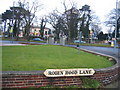
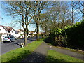
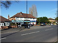
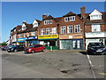
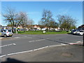
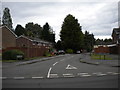
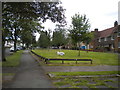


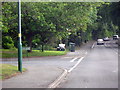
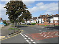
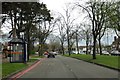
19 photos from this area
Area Information
Key information about the B28 9LH including its size, population, and administrative classification.
- Area Type
- Postcode
- Area Size
- 4092 m²
- Population
- 1888
- Population Density
- 6065 people/km²
House Prices in B28 9LH
10
Properties
£201,313
Average Sold Price
£150,000
Lowest Price
£275,000
Highest Price
Showing 10 properties
| Address | Type | Beds | Baths | Last Sale Price | Last Sale Date | |
|---|---|---|---|---|---|---|
| 756 Shirley Road, Hall Green, Birmingham, B28 9LH | Semi-detached | 4 | 2 | £215,000 | Aug 2021 | |
| 752 Shirley Road, Hall Green, Birmingham, B28 9LH | Semi-detached | 3 | 2 | £232,500 | Jul 2018 | |
| 754 Shirley Road, Hall Green, Birmingham, B28 9LH | Semi-detached | - | - | £166,000 | Aug 2013 | |
| 758 Shirley Road, Hall Green, Birmingham, B28 9LH | Detached | 5 | 2 | £275,000 | Feb 2008 | |
| 744 Shirley Road, Hall Green, Birmingham, B28 9LH | house | - | - | £237,000 | Jul 2005 | |
| 748 Shirley Road, Hall Green, Birmingham, B28 9LH | Semi-detached | - | - | £160,000 | Aug 2003 | |
| 742 Shirley Road, Hall Green, Birmingham, B28 9LH | house | - | - | £175,000 | Sep 2002 | |
| 740 Shirley Road, Hall Green, Birmingham, B28 9LH | Semi-detached | - | - | £150,000 | Jul 2000 | |
| 746 Shirley Road, Hall Green, Birmingham, B28 9LH | Terraced | - | - | - | - | |
| 750 Shirley Road, Hall Green, Birmingham, B28 9LH | Terraced | - | - | - | - |
Energy Efficiency in B28 9LH
Amenities
Schools
| Rank | School | Type | Entry gender | Ages |
|---|
Explore more schools in this area
Go to Schools tabDemographics
Household Size
Family (3-5 people)
most common
Accommodation Type
Houses
most common
Tenure
70
majority
Ethnic Group
asian_total
most common
Religion
N/A
most common
Household Composition
N/A
most common
Age
47
median
Adults (30-64 years)
most common
Household Deprivation
N/A
with no deprivation
NS-SEC
27
in Lower managerial occupations
Explore more demographic insights in this area
Go to Demographics tabPlanning
Planning Constraints
- Flood RiskPremium
- Ramsar Wetland SitesPremium
- Area of Outstanding Natural BeautyPremium
- Protected Nature ReservePremium
- Protected WoodlandPremium