Area Overview for B20 2DP
Photos of B20 2DP
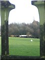
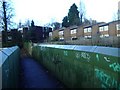
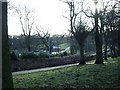
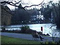
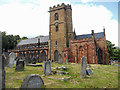
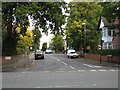
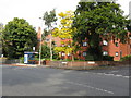
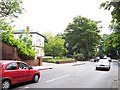
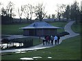
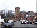
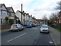
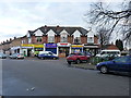
63 photos from this area
Area Information
Key information about the B20 2DP including its size, population, and administrative classification.
- Area Type
- Postcode
- Area Size
- 2.4 hectares
- Population
- 1631
- Population Density
- 5157 people/km²
House Prices in B20 2DP
49
Properties
£111,875
Average Sold Price
£30,000
Lowest Price
£192,000
Highest Price
Showing 49 properties
| Address | Type | Beds | Baths | Last Sale Price | Last Sale Date | |
|---|---|---|---|---|---|---|
| 29 Earlswood Court, Birmingham, B20 2DP | house | 3 | 1 | £192,000 | Nov 2023 | |
| 63 Earlswood Court, Birmingham, B20 2DP | house | - | - | £180,000 | Jun 2022 | |
| 23 Earlswood Court, Birmingham, B20 2DP | house | - | - | £125,000 | Sep 2020 | |
| 74 Earlswood Court, Birmingham, B20 2DP | house | - | - | £31,000 | Mar 2020 | |
| 79 Earlswood Court, Birmingham, B20 2DP | house | - | - | £143,000 | Aug 2019 | |
| 95 Earlswood Court, Birmingham, B20 2DP | Terraced | 3 | 1 | £135,000 | Aug 2018 | |
| 101 Earlswood Court, Birmingham, B20 2DP | Terraced | 3 | 1 | £137,500 | Aug 2017 | |
| 91 Earlswood Court, Birmingham, B20 2DP | Terraced | 3 | - | £120,000 | May 2013 | |
| 31 Earlswood Court, Birmingham, B20 2DP | house | 3 | 1 | £125,000 | Dec 2010 | |
| 17 Earlswood Court, Birmingham, B20 2DP | house | - | - | £124,500 | Jun 2010 |
Page 1 of 5
Energy Efficiency in B20 2DP
Amenities
Schools
| Rank | School | Type | Entry gender | Ages |
|---|
Explore more schools in this area
Go to Schools tabDemographics
Household Size
One person
most common
Accommodation Type
Houses
most common
Tenure
46
majority
Ethnic Group
asian_total
most common
Religion
N/A
most common
Household Composition
N/A
most common
Age
47
median
Adults (30-64 years)
most common
Household Deprivation
N/A
with no deprivation
NS-SEC
24
in Lower managerial occupations
Explore more demographic insights in this area
Go to Demographics tabPlanning
Planning Constraints
- Flood RiskPremium
- Ramsar Wetland SitesPremium
- Area of Outstanding Natural BeautyPremium
- Protected Nature ReservePremium
- Protected WoodlandPremium