Area Overview for B20 1LH
Photos of B20 1LH

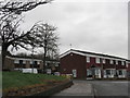
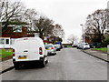
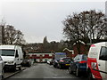
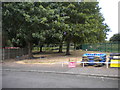
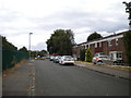
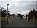
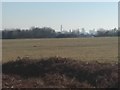
20 photos from this area
Area Information
Key information about the B20 1LH including its size, population, and administrative classification.
- Area Type
- Postcode
- Area Size
- 30.4 hectares
- Population
- 1583
- Population Density
- 941 people/km²
House Prices in B20 1LH
40
Properties
£190,387
Average Sold Price
£15,000
Lowest Price
£385,000
Highest Price
Showing 40 properties
| Address | Type | Beds | Baths | Last Sale Price | Last Sale Date | |
|---|---|---|---|---|---|---|
| 36 Sunningdale Close, Handsworth Wood, Birmingham, B20 1LH | Bungalow | 2 | 1 | £277,000 | Jul 2025 | |
| 34 Sunningdale Close, Handsworth Wood, Birmingham, B20 1LH | Bungalow | 2 | 1 | £247,000 | Nov 2024 | |
| 21 Sunningdale Close, Handsworth Wood, Birmingham, B20 1LH | house | 4 | 1 | £360,000 | May 2023 | |
| 57 Sunningdale Close, Handsworth Wood, Birmingham, B20 1LH | house | - | - | £385,000 | Jun 2022 | |
| 41 Sunningdale Close, Handsworth Wood, Birmingham, B20 1LH | house | - | - | £360,000 | Jul 2021 | |
| 29 Sunningdale Close, Handsworth Wood, Birmingham, B20 1LH | house | - | - | £277,000 | Feb 2021 | |
| 39 Sunningdale Close, Handsworth Wood, Birmingham, B20 1LH | house | - | - | £280,000 | Jun 2017 | |
| 69 Sunningdale Close, Handsworth Wood, Birmingham, B20 1LH | Detached | 4 | 1 | £235,000 | Mar 2016 | |
| 22 Sunningdale Close, Handsworth Wood, Birmingham, B20 1LH | Bungalow | 3 | 1 | £260,000 | May 2015 | |
| 37 Sunningdale Close, Handsworth Wood, Birmingham, B20 1LH | Detached | 4 | - | £217,000 | Oct 2014 |
Page 1 of 4
Energy Efficiency in B20 1LH
Amenities
Schools
| Rank | School | Type | Entry gender | Ages |
|---|
Explore more schools in this area
Go to Schools tabDemographics
Household Size
Family (3-5 people)
most common
Accommodation Type
Houses
most common
Tenure
88
majority
Ethnic Group
asian_total
most common
Religion
N/A
most common
Household Composition
N/A
most common
Age
47
median
Adults (30-64 years)
most common
Household Deprivation
N/A
with no deprivation
NS-SEC
30
in Lower managerial occupations
Explore more demographic insights in this area
Go to Demographics tabPlanning
Planning Constraints
- Flood RiskPremium
- Ramsar Wetland SitesPremium
- Area of Outstanding Natural BeautyPremium
- Protected Nature ReservePremium
- Protected WoodlandPremium