Area Overview for B20 1LE
Photos of B20 1LE
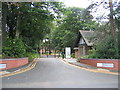
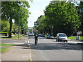
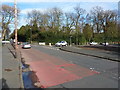
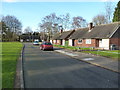
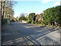
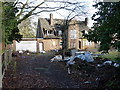
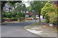
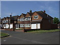
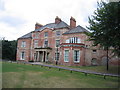
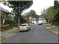
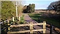
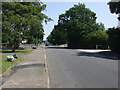
13 photos from this area
Area Information
Key information about the B20 1LE including its size, population, and administrative classification.
- Area Type
- Postcode
- Area Size
- 8279 m²
- Population
- 1583
- Population Density
- 941 people/km²
House Prices in B20 1LE
23
Properties
£145,317
Average Sold Price
£50,500
Lowest Price
£245,000
Highest Price
Showing 23 properties
| Address | Type | Beds | Baths | Last Sale Price | Last Sale Date | |
|---|---|---|---|---|---|---|
| 180 Grestone Avenue, Birmingham, B20 1LE | house | - | - | £240,000 | Jul 2021 | |
| 172 Grestone Avenue, Birmingham, B20 1LE | Semi-detached | 3 | 1 | £150,500 | Jun 2017 | |
| 162 Grestone Avenue, Birmingham, B20 1LE | Semi-detached | 3 | 1 | £160,000 | Dec 2016 | |
| 166 Grestone Avenue, Birmingham, B20 1LE | Semi-detached | 3 | 1 | £157,000 | Jul 2015 | |
| 160 Grestone Avenue, Birmingham, B20 1LE | house | - | - | £132,000 | Sep 2014 | |
| 186 Grestone Avenue, Birmingham, B20 1LE | Semi-detached | 5 | 1 | £245,000 | Feb 2014 | |
| 152 Grestone Avenue, Birmingham, B20 1LE | Semi-detached | 3 | 1 | £109,301 | Mar 2010 | |
| 146 Grestone Avenue, Birmingham, B20 1LE | house | - | - | £157,950 | Aug 2006 | |
| 190 Grestone Avenue, Birmingham, B20 1LE | house | - | - | £182,000 | Jun 2006 | |
| 170 Grestone Avenue, Birmingham, B20 1LE | Semi-detached | - | - | £155,000 | Feb 2006 |
Page 1 of 3
Energy Efficiency in B20 1LE
Amenities
Schools
| Rank | School | Type | Entry gender | Ages |
|---|
Explore more schools in this area
Go to Schools tabDemographics
Household Size
Family (3-5 people)
most common
Accommodation Type
Houses
most common
Tenure
88
majority
Ethnic Group
asian_total
most common
Religion
N/A
most common
Household Composition
N/A
most common
Age
47
median
Adults (30-64 years)
most common
Household Deprivation
N/A
with no deprivation
NS-SEC
30
in Lower managerial occupations
Explore more demographic insights in this area
Go to Demographics tabPlanning
Planning Constraints
- Flood RiskPremium
- Ramsar Wetland SitesPremium
- Area of Outstanding Natural BeautyPremium
- Protected Nature ReservePremium
- Protected WoodlandPremium