Area Overview for BS41 9EZ
Photos of BS41 9EZ
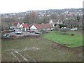
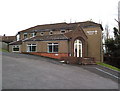
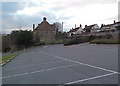
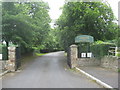
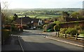
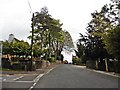
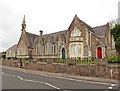
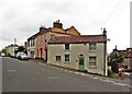
46 photos from this area
Area Information
Key information about the BS41 9EZ including its size, population, and administrative classification.
- Area Type
- Postcode
- Area Size
- 8898 m²
- Population
- 1809
- Population Density
- 220 people/km²
House Prices in BS41 9EZ
15
Properties
£456,413
Average Sold Price
£120,000
Lowest Price
£950,000
Highest Price
Showing 15 properties
| Address | Type | Beds | Baths | Last Sale Price | Last Sale Date | |
|---|---|---|---|---|---|---|
| 41 Ridgeway Road, Long Ashton, BS41 9EZ | Semi-detached | 5 | 4 | £950,000 | Oct 2023 | |
| 67 Ridgeway Road, Long Ashton, BS41 9EZ | Detached | 5 | 5 | £584,000 | Aug 2022 | |
| 51 Ridgeway Road, Long Ashton, BS41 9EZ | house | - | - | £800,000 | Aug 2021 | |
| 59 Ridgeway Road, Long Ashton, BS41 9EZ | Detached | 5 | - | £799,950 | Oct 2016 | |
| 65 Ridgeway Road, Long Ashton, BS41 9EZ | Flat | - | - | £400,000 | Aug 2014 | |
| 43 Ridgeway Road, Long Ashton, BS41 9EZ | Detached | 4 | - | £400,000 | May 2006 | |
| Trevarno, 63 Ridgeway Road, Long Ashton, BS41 9EZ | Detached | - | - | £330,000 | Apr 2005 | |
| 57 Ridgeway Road, Long Ashton, BS41 9EZ | Detached | - | - | £306,000 | Jul 2004 | |
| 49 Ridgeway Road, Long Ashton, BS41 9EZ | house | - | - | £327,000 | Aug 2002 | |
| 69 Ridgeway Road, Long Ashton, BS41 9EZ | house | 2 | 2 | £300,000 | Feb 2000 |
Page 1 of 2
Energy Efficiency in BS41 9EZ
Amenities
Schools
| Rank | School | Type | Entry gender | Ages |
|---|
Explore more schools in this area
Go to Schools tabDemographics
Household Size
Two person
most common
Accommodation Type
Houses
most common
Tenure
91
majority
Ethnic Group
White
most common
Religion
N/A
most common
Household Composition
N/A
most common
Age
47
median
Adults (30-64 years)
most common
Household Deprivation
N/A
with no deprivation
NS-SEC
55
in Lower managerial occupations
Explore more demographic insights in this area
Go to Demographics tabPlanning
Planning Constraints
- Flood RiskPremium
- Ramsar Wetland SitesPremium
- Area of Outstanding Natural BeautyPremium
- Protected Nature ReservePremium
- Protected WoodlandPremium