Area Overview for RG2 9DP
Photos of RG2 9DP
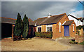
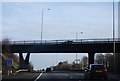
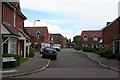
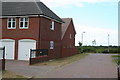
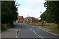
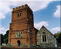
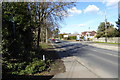
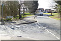
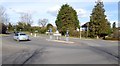
55 photos from this area
Area Information
Key information about the RG2 9DP including its size, population, and administrative classification.
- Area Type
- Postcode
- Area Size
- 2.3 hectares
- Population
- 1709
- Population Density
- 3688 people/km²
House Prices in RG2 9DP
25
Properties
£639,118
Average Sold Price
£345,000
Lowest Price
£1,240,000
Highest Price
Showing 25 properties
| Address | Type | Beds | Baths | Last Sale Price | Last Sale Date | |
|---|---|---|---|---|---|---|
| 1 The Manor, Shinfield, RG2 9DP | Detached | 5 | 3 | £1,240,000 | Apr 2024 | |
| 20 The Manor, Shinfield, RG2 9DP | Detached | 6 | 3 | £1,150,000 | Sep 2023 | |
| 21 The Manor, Shinfield, RG2 9DP | Retail | 4 | 3 | £1,000,000 | Mar 2022 | |
| 22 The Manor, Shinfield, RG2 9DP | house | - | - | £345,000 | Feb 2021 | |
| 18 The Manor, Shinfield, RG2 9DP | Detached | 5 | 3 | £800,000 | Sep 2019 | |
| 15 The Manor, Shinfield, RG2 9DP | Detached | 4 | 3 | £780,001 | Aug 2019 | |
| 2 The Manor, Shinfield, RG2 9DP | Detached | 6 | - | £825,000 | Nov 2017 | |
| 3 The Manor, Shinfield, RG2 9DP | house | 5 | - | £685,000 | Dec 2016 | |
| 11 The Manor, Shinfield, RG2 9DP | Detached | 5 | - | £710,000 | Nov 2016 | |
| 4 The Manor, Shinfield, RG2 9DP | Detached | 5 | 3 | £835,000 | Dec 2015 |
Page 1 of 3
Energy Efficiency in RG2 9DP
Amenities
Schools
| Rank | School | Type | Entry gender | Ages |
|---|
Explore more schools in this area
Go to Schools tabDemographics
Household Size
Family (3-5 people)
most common
Accommodation Type
Houses
most common
Tenure
72
majority
Ethnic Group
White
most common
Religion
N/A
most common
Household Composition
N/A
most common
Age
47
median
Adults (30-64 years)
most common
Household Deprivation
N/A
with no deprivation
NS-SEC
45
in Lower managerial occupations
Explore more demographic insights in this area
Go to Demographics tabPlanning
Planning Constraints
- Flood RiskPremium
- Ramsar Wetland SitesPremium
- Area of Outstanding Natural BeautyPremium
- Protected Nature ReservePremium
- Protected WoodlandPremium