Area Overview for NG9 1DG
Photos of NG9 1DG
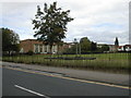
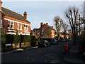
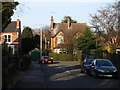
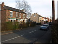
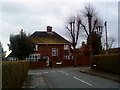
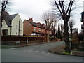
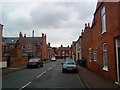
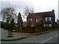
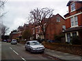
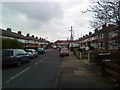
100 photos from this area
Area Information
Key information about the NG9 1DG including its size, population, and administrative classification.
- Area Type
- Postcode
- Area Size
- 2701 m²
- Population
- 1747
- Population Density
- 5814 people/km²
House Prices in NG9 1DG
10
Properties
£308,590
Average Sold Price
£92,950
Lowest Price
£420,000
Highest Price
Showing 10 properties
| Address | Type | Beds | Baths | Last Sale Price | Last Sale Date | |
|---|---|---|---|---|---|---|
| 39 Cromwell Road, Beeston, NG9 1DG | house | 3 | 1 | £415,000 | Dec 2022 | |
| 40 Cromwell Road, Beeston, NG9 1DG | Semi-detached | 4 | 1 | £420,000 | Oct 2020 | |
| 34 Cromwell Road, Beeston, NG9 1DG | Terraced | 3 | 2 | £340,000 | Sep 2019 | |
| 44 Cromwell Road, Beeston, NG9 1DG | Semi-detached | 4 | 2 | £275,000 | Aug 2016 | |
| 37 Cromwell Road, Beeston, NG9 1DG | Semi-detached | - | - | £92,950 | Dec 1999 | |
| 41 Cromwell Road, Beeston, NG9 1DG | Detached | 4 | 1 | - | - | |
| 38 Cromwell Road, Beeston, NG9 1DG | Semi-detached | 3 | 1 | - | - | |
| 42 Cromwell Road, Beeston, NG9 1DG | Terraced | - | - | - | - | |
| Ground Floor Flat, 36 Cromwell Road, Beeston, NG9 1DG | Flat | 2 | 2 | - | - | |
| First Floor Flat, 36 Cromwell Road, Beeston, NG9 1DG | Flat | 4 | - | - | - |
Energy Efficiency in NG9 1DG
Amenities
Schools
| Rank | School | Type | Entry gender | Ages |
|---|
Explore more schools in this area
Go to Schools tabDemographics
Household Size
Two person
most common
Accommodation Type
Houses
most common
Tenure
85
majority
Ethnic Group
White
most common
Religion
N/A
most common
Household Composition
N/A
most common
Age
47
median
Adults (30-64 years)
most common
Household Deprivation
N/A
with no deprivation
NS-SEC
54
in Lower managerial occupations
Explore more demographic insights in this area
Go to Demographics tabPlanning
Planning Constraints
- Flood RiskPremium
- Ramsar Wetland SitesPremium
- Area of Outstanding Natural BeautyPremium
- Protected Nature ReservePremium
- Protected WoodlandPremium