Area Overview for Charnwood District (B)
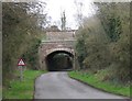
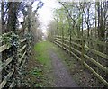
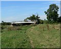
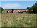
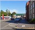
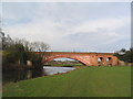
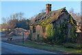
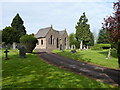
Photos of Charnwood District (B)
Area Information
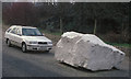
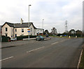
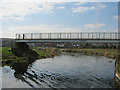
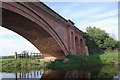
Charnwood District functions as a local authority borough in the north of Leicestershire, covering an extensive land area of 279.2 square kilometres. The region takes its name from Charnwood Forest, which dominates much of the landscape and defines the natural character of the district. This area sits approximately 20 km north of Leicester city centre and includes the governing administrative hub in Loughborough, alongside the towns of Shepshed and Syston. Beyond these larger settlements, the district encompasses numerous villages such as Barrow upon Soar, Birstall, Quorn, Sileby, and Woodhouse Eaves. Geographically, the district is shaped by a distinctive group of hills rising to 278 metres at Bardon Hill. These elevations represent the emergence of some of the oldest basement rocks in Britain, consisting of Precambrian gritstones. The terrain offers expansive views from Beacon Hill that can reach as far as the Shropshire Hills and distant Lincoln Cathedral on clear days. Lower elevations contrast with this openness, featuring an intricate pattern of woodlands and farmland that provides a secluded atmosphere. The area serves as a key residential outlet for London and Leicester commuting patterns while maintaining strong recreational ties through its forest coverage.
- Area Type
- District/Borough
- Area Size
- 279.2 km²
- Population
- Not available
- Population Density
- Not available
Demographics
The community profile in Charnwood District reflects a mature and established population. Residents at this location have a median age of 70, marking one of the oldest averages in the district. The demographic structure indicates a society where a significant portion of the population falls into older age categories rather than young families or single professionals. This data point suggests a neighbourhood suited to retirement living or those seeking communities with quieter paces of life. Home ownership remains the dominant form of accommodation within the district, with 71% of households owning their homes outright or with a mortgage. This high figure of 71% points to an area where families and individuals prefer stability over the rental market. While specific breakdowns of household composition types are not explicitly detailed beyond the aggregate figures, the prevalence of ownership suggests a settled residential base. The population density varies, shifting from larger towns like Loughborough to smaller scattered villages. This demographic reality creates a buying environment distinct from areas driven by high youth population growth or student housing demand.
Household Size
Accommodation Type
Tenure
Ethnic Group
Religion
Household Composition
Age
Household Deprivation
NS-SEC
Explore more demographic insights in this area
Go to Demographics tabPlanning
Planning Constraints
- Flood RiskPremium
- Ramsar Wetland SitesPremium
- Area of Outstanding Natural BeautyPremium
- Protected Nature ReservePremium
- Protected WoodlandPremium
- Crime RiskPremium