Area Overview for LL11 2HS
Photos of LL11 2HS
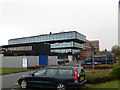
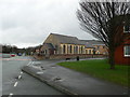
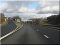
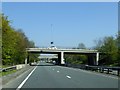
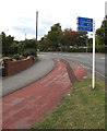
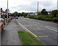
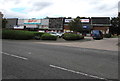
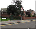
58 photos from this area
Area Information
Key information about the LL11 2HS including its size, population, and administrative classification.
- Area Type
- Postcode
- Area Size
- 2.5 hectares
- Population
- 1524
- Population Density
- 1766 people/km²
House Prices in LL11 2HS
24
Properties
£105,100
Average Sold Price
£25,000
Lowest Price
£185,000
Highest Price
Showing 24 properties
| Address | Type | Beds | Baths | Last Sale Price | Last Sale Date | |
|---|---|---|---|---|---|---|
| 111 Crispin Lane, Wrexham, LL11 2HS | house | 3 | - | £185,000 | Jul 2025 | |
| 73 Crispin Lane, Wrexham, LL11 2HS | Maisonette | - | - | £117,500 | Mar 2024 | |
| 67 Crispin Lane, Wrexham, LL11 2HS | Retail | 4 | 1 | £160,000 | Oct 2022 | |
| 49 Crispin Lane, Wrexham, LL11 2HS | house | 2 | - | £103,000 | Dec 2020 | |
| 55 Crispin Lane, Wrexham, LL11 2HS | Terraced | 2 | 1 | £97,000 | Sep 2018 | |
| 57 Crispin Lane, Wrexham, LL11 2HS | house | - | - | £78,000 | Jul 2018 | |
| 65 Crispin Lane, Wrexham, LL11 2HS | house | - | - | £92,500 | Jul 2017 | |
| 71 Crispin Lane, Wrexham, LL11 2HS | Flat | - | - | £91,000 | Sep 2010 | |
| 61 Crispin Lane, Wrexham, LL11 2HS | Terraced | 3 | 1 | £102,000 | Apr 2006 | |
| 93 Crispin Lane, Wrexham, LL11 2HS | house | - | - | £25,000 | Jul 1997 |
Page 1 of 3
Energy Efficiency in LL11 2HS
Amenities
Schools
| Rank | School | Type | Entry gender | Ages |
|---|
Explore more schools in this area
Go to Schools tabDemographics
Household Size
One person
most common
Accommodation Type
Flats
most common
Tenure
31
majority
Ethnic Group
White
most common
Religion
N/A
most common
Household Composition
N/A
most common
Age
47
median
Adults (30-64 years)
most common
Household Deprivation
N/A
with no deprivation
NS-SEC
23
in Lower managerial occupations
Explore more demographic insights in this area
Go to Demographics tabPlanning
Planning Constraints
- Flood RiskPremium
- Ramsar Wetland SitesPremium
- Area of Outstanding Natural BeautyPremium
- Protected Nature ReservePremium
- Protected WoodlandPremium
- Crime RiskPremium