Area Overview for NP19 7GN
Photos of NP19 7GN
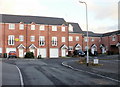
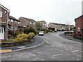
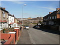
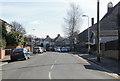
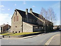
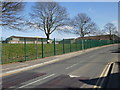
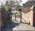
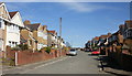
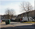
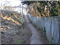
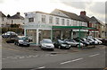
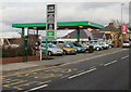
100 photos from this area
Area Information
Key information about the NP19 7GN including its size, population, and administrative classification.
- Area Type
- Postcode
- Area Size
- 1.5 hectares
- Population
- 1108
- Population Density
- 3343 people/km²
House Prices in NP19 7GN
25
Properties
£235,895
Average Sold Price
£50,000
Lowest Price
£345,000
Highest Price
Showing 25 properties
| Address | Type | Beds | Baths | Last Sale Price | Last Sale Date | |
|---|---|---|---|---|---|---|
| 36 St Julians Road, Newport, NP19 7GN | Semi-detached | 4 | 1 | £345,000 | Jun 2025 | |
| 26 St Julians Road, Newport, NP19 7GN | house | - | - | £278,750 | Mar 2021 | |
| 42 St Julians Road, Newport, NP19 7GN | Semi-detached | 3 | 1 | £239,950 | Nov 2019 | |
| 38 St Julians Road, Newport, NP19 7GN | house | - | - | £260,000 | Jul 2019 | |
| 27 St Julians Road, Newport, NP19 7GN | Detached | 5 | 2 | £293,000 | Nov 2016 | |
| 35 St Julians Road, Newport, NP19 7GN | Semi-detached | 3 | 1 | £168,000 | Dec 2014 | |
| 32 St Julians Road, Newport, NP19 7GN | Detached | - | - | £237,250 | Jun 2005 | |
| 41 St Julians Road, Newport, NP19 7GN | Detached | - | - | £290,000 | Apr 2005 | |
| 39 St Julians Road, Newport, NP19 7GN | Semi-detached | - | - | £197,000 | Mar 2005 | |
| 46 St Julians Road, Newport, NP19 7GN | house | 5 | 1 | £50,000 | Sep 1996 |
Page 1 of 3
Energy Efficiency in NP19 7GN
Amenities
Schools
| Rank | School | Type | Entry gender | Ages |
|---|
Explore more schools in this area
Go to Schools tabDemographics
Household Size
Two person
most common
Accommodation Type
Houses
most common
Tenure
84
majority
Ethnic Group
White
most common
Religion
N/A
most common
Household Composition
N/A
most common
Age
47
median
Adults (30-64 years)
most common
Household Deprivation
N/A
with no deprivation
NS-SEC
36
in Lower managerial occupations
Explore more demographic insights in this area
Go to Demographics tabPlanning
Planning Constraints
- Flood RiskPremium
- Ramsar Wetland SitesPremium
- Area of Outstanding Natural BeautyPremium
- Protected Nature ReservePremium
- Protected WoodlandPremium
- Crime RiskPremium