Area Overview for NP19 7LF
Photos of NP19 7LF
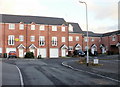
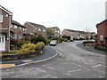
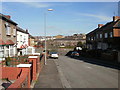
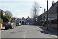
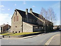
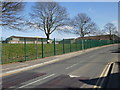
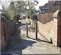
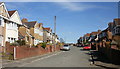
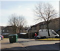
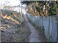
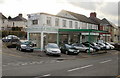
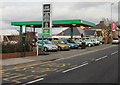
100 photos from this area
Area Information
Key information about the NP19 7LF including its size, population, and administrative classification.
- Area Type
- Postcode
- Area Size
- 1.5 hectares
- Population
- 1108
- Population Density
- 3343 people/km²
House Prices in NP19 7LF
26
Properties
£170,286
Average Sold Price
£60,000
Lowest Price
£315,550
Highest Price
Showing 26 properties
| Address | Type | Beds | Baths | Last Sale Price | Last Sale Date | |
|---|---|---|---|---|---|---|
| 9 Merlin Crescent, Newport, NP19 7LF | Semi-detached | 3 | 1 | £265,000 | Feb 2024 | |
| 21 Merlin Crescent, Newport, NP19 7LF | Semi-detached | 3 | 1 | £305,000 | Nov 2023 | |
| 17 Merlin Crescent, Newport, NP19 7LF | house | - | - | £315,550 | Aug 2021 | |
| 11 Merlin Crescent, Newport, NP19 7LF | house | - | - | £245,000 | May 2021 | |
| 6 Merlin Crescent, Newport, NP19 7LF | Semi-detached | 3 | 1 | £192,000 | Jan 2019 | |
| 12 Merlin Crescent, Newport, NP19 7LF | Semi-detached | 3 | 1 | £220,000 | Aug 2018 | |
| 30 Merlin Crescent, Newport, NP19 7LF | house | - | - | £112,500 | Sep 2017 | |
| 10 Merlin Crescent, Newport, NP19 7LF | house | - | - | £158,000 | Nov 2014 | |
| 22 Merlin Crescent, Newport, NP19 7LF | house | - | - | £180,000 | Sep 2014 | |
| 3 Merlin Crescent, Newport, NP19 7LF | house | - | - | £89,950 | Nov 2001 |
Page 1 of 3
Energy Efficiency in NP19 7LF
Amenities
Schools
| Rank | School | Type | Entry gender | Ages |
|---|
Explore more schools in this area
Go to Schools tabDemographics
Household Size
Two person
most common
Accommodation Type
Houses
most common
Tenure
84
majority
Ethnic Group
White
most common
Religion
N/A
most common
Household Composition
N/A
most common
Age
47
median
Adults (30-64 years)
most common
Household Deprivation
N/A
with no deprivation
NS-SEC
36
in Lower managerial occupations
Explore more demographic insights in this area
Go to Demographics tabPlanning
Planning Constraints
- Flood RiskPremium
- Ramsar Wetland SitesPremium
- Area of Outstanding Natural BeautyPremium
- Protected Nature ReservePremium
- Protected WoodlandPremium
- Crime RiskPremium