Area Overview for NP19 0DS
Photos of NP19 0DS
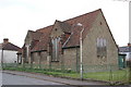
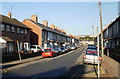
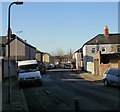
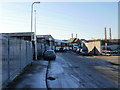
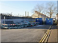
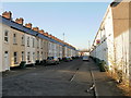
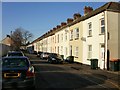
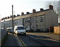
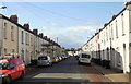
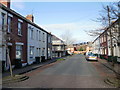
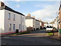
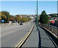
100 photos from this area
Area Information
Key information about the NP19 0DS including its size, population, and administrative classification.
- Area Type
- Postcode
- Area Size
- 1.2 hectares
- Population
- 2212
- Population Density
- 8778 people/km²
House Prices in NP19 0DS
43
Properties
£140,288
Average Sold Price
£30,000
Lowest Price
£900,000
Highest Price
Showing 43 properties
| Address | Type | Beds | Baths | Last Sale Price | Last Sale Date | |
|---|---|---|---|---|---|---|
| 21 Coverack Road, Newport, NP19 0DS | Terraced | 2 | 1 | £175,000 | Feb 2025 | |
| 25 Coverack Road, Newport, NP19 0DS | Terraced | 3 | 1 | £121,200 | May 2024 | |
| 16 Coverack Road, Newport, NP19 0DS | Terraced | 3 | - | £145,000 | Feb 2023 | |
| 31 Coverack Road, Newport, NP19 0DS | Detached | 2 | 1 | £168,000 | Jul 2022 | |
| 26 Coverack Road, Newport, NP19 0DS | Terraced | 3 | 1 | £142,500 | Jun 2022 | |
| 27 Coverack Road, Newport, NP19 0DS | Terraced | 3 | 1 | £162,000 | Dec 2021 | |
| 11 Coverack Road, Newport, NP19 0DS | Terraced | 3 | 1 | £108,000 | Oct 2021 | |
| 40 Coverack Road, Newport, NP19 0DS | house | - | - | £120,000 | Sep 2021 | |
| 46 Coverack Road, Newport, NP19 0DS | house | - | - | £118,750 | Aug 2021 | |
| 13 Coverack Road, Newport, NP19 0DS | house | - | - | £117,500 | Feb 2021 |
Page 1 of 5
Energy Efficiency in NP19 0DS
Amenities
Schools
| Rank | School | Type | Entry gender | Ages |
|---|
Explore more schools in this area
Go to Schools tabDemographics
Household Size
Family (3-5 people)
most common
Accommodation Type
Houses
most common
Tenure
53
majority
Ethnic Group
White
most common
Religion
N/A
most common
Household Composition
N/A
most common
Age
47
median
Adults (30-64 years)
most common
Household Deprivation
N/A
with no deprivation
NS-SEC
20
in Lower managerial occupations
Explore more demographic insights in this area
Go to Demographics tabPlanning
Planning Constraints
- Flood RiskPremium
- Ramsar Wetland SitesPremium
- Area of Outstanding Natural BeautyPremium
- Protected Nature ReservePremium
- Protected WoodlandPremium
- Crime RiskPremium