Area Overview for SA11 2TL
Photos of SA11 2TL
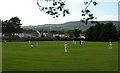
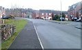

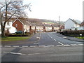
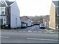
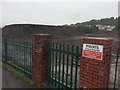
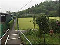
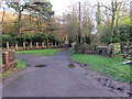
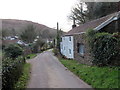
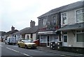
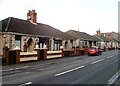

24 photos from this area
Area Information
Key information about the SA11 2TL including its size, population, and administrative classification.
- Area Type
- Postcode
- Area Size
- 4.3 hectares
- Population
- 1465
- Population Density
- 403 people/km²
House Prices in SA11 2TL
24
Properties
£136,586
Average Sold Price
£50,000
Lowest Price
£340,000
Highest Price
Showing 24 properties
| Address | Type | Beds | Baths | Last Sale Price | Last Sale Date | |
|---|---|---|---|---|---|---|
| Ger-y-nant, Ynysymaerdy Road, Briton Ferry, SA11 2TL | Detached | 4 | 2 | £340,000 | Dec 2023 | |
| 52 Ynysymaerdy Road, Briton Ferry, SA11 2TL | house | - | - | £205,000 | Aug 2022 | |
| 30 Ynysymaerdy Road, Briton Ferry, SA11 2TL | house | - | - | £90,000 | Jun 2021 | |
| 34 Ynysymaerdy Road, Briton Ferry, SA11 2TL | Terraced | 2 | 1 | £113,000 | Oct 2019 | |
| 54 Ynysymaerdy Road, Briton Ferry, SA11 2TL | Semi-detached | 4 | 1 | £212,000 | Mar 2019 | |
| 38 Ynysymaerdy Road, Briton Ferry, SA11 2TL | Terraced | 3 | 2 | £50,000 | Aug 2017 | |
| Brynteg, 42 Ynysymaerdy Road, Briton Ferry, SA11 2TL | Terraced | 3 | 1 | £114,995 | Oct 2015 | |
| 32 Ynysymaerdy Road, Briton Ferry, SA11 2TL | house | 3 | - | £95,500 | Apr 2013 | |
| Bron Wysg, 46 Ynysymaerdy Road, Briton Ferry, SA11 2TL | house | - | - | £92,000 | Apr 2010 | |
| Ael-y-bryn, 48 Ynysymaerdy Road, Briton Ferry, SA11 2TL | Detached | - | - | £130,000 | Jun 2008 |
Page 1 of 3
Energy Efficiency in SA11 2TL
Amenities
Schools
| Rank | School | Type | Entry gender | Ages |
|---|
Explore more schools in this area
Go to Schools tabDemographics
Household Size
One person
most common
Accommodation Type
Houses
most common
Tenure
71
majority
Ethnic Group
White
most common
Religion
N/A
most common
Household Composition
N/A
most common
Age
47
median
Adults (30-64 years)
most common
Household Deprivation
N/A
with no deprivation
NS-SEC
22
in Lower managerial occupations
Explore more demographic insights in this area
Go to Demographics tabPlanning
Planning Constraints
- Flood RiskPremium
- Ramsar Wetland SitesPremium
- Area of Outstanding Natural BeautyPremium
- Protected Nature ReservePremium
- Protected WoodlandPremium
- Crime RiskPremium