Area Overview for LL12 9PW
Photos of LL12 9PW
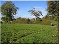
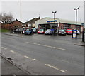
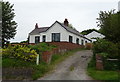
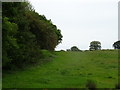
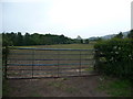
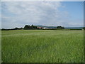
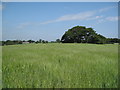
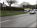
13 photos from this area
Area Information
Key information about the LL12 9PW including its size, population, and administrative classification.
- Area Type
- Postcode
- Area Size
- 9.5 hectares
- Population
- 1425
- Population Density
- 126 people/km²
House Prices in LL12 9PW
10
Properties
£176,992
Average Sold Price
£92,950
Lowest Price
£265,000
Highest Price
Showing 10 properties
| Address | Type | Beds | Baths | Last Sale Price | Last Sale Date | |
|---|---|---|---|---|---|---|
| Glynville, Gresford Road, Hope, LL12 9PW | house | - | - | £133,000 | Aug 2021 | |
| Bryn Awelon, Gresford Road, Hope, LL12 9PW | Bungalow | 2 | 1 | £183,000 | Jul 2021 | |
| Saith Erw, Gresford Road, Hope, LL12 9PW | Detached | 3 | 1 | £248,000 | Jul 2019 | |
| Church View, Gresford Road, Hope, LL12 9PW | house | - | - | £265,000 | Oct 2015 | |
| Bodhyfryn, Gresford Road, Hope, LL12 9PW | Semi-detached | - | - | £140,000 | Nov 2005 | |
| Lyndale, Gresford Road, Hope, LL12 9PW | house | - | - | £92,950 | Sep 2003 | |
| Berwyn, Gresford Road, Hope, LL12 9PW | house | - | - | - | - | |
| The Woodlands, 1 Gresford Road, Hope, LL12 9PW | Semi-detached | - | - | - | - | |
| Chezel, Gresford Road, Hope, LL12 9PW | Semi-detached | - | - | - | - | |
| Sandbank, Gresford Road, Hope, LL12 9PW | Detached | - | - | - | - |
Energy Efficiency in LL12 9PW
Amenities
Schools
| Rank | School | Type | Entry gender | Ages |
|---|
Explore more schools in this area
Go to Schools tabDemographics
Household Size
Two person
most common
Accommodation Type
Houses
most common
Tenure
92
majority
Ethnic Group
White
most common
Religion
N/A
most common
Household Composition
N/A
most common
Age
47
median
Adults (30-64 years)
most common
Household Deprivation
N/A
with no deprivation
NS-SEC
42
in Lower managerial occupations
Explore more demographic insights in this area
Go to Demographics tabPlanning
Planning Constraints
- Flood RiskPremium
- Ramsar Wetland SitesPremium
- Area of Outstanding Natural BeautyPremium
- Protected Nature ReservePremium
- Protected WoodlandPremium
- Crime RiskPremium