Area Overview for LL12 9PH
Photos of LL12 9PH
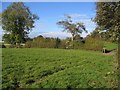
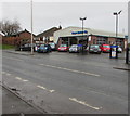
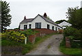
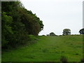
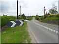
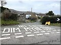
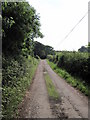
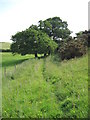
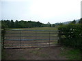
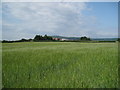
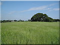
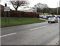
13 photos from this area
Area Information
Key information about the LL12 9PH including its size, population, and administrative classification.
- Area Type
- Postcode
- Area Size
- 4.4 hectares
- Population
- 1425
- Population Density
- 126 people/km²
House Prices in LL12 9PH
38
Properties
£186,102
Average Sold Price
£40,000
Lowest Price
£320,000
Highest Price
Showing 38 properties
| Address | Type | Beds | Baths | Last Sale Price | Last Sale Date | |
|---|---|---|---|---|---|---|
| Hendy, Kiln Lane, Hope, LL12 9PH | house | - | - | £250,000 | Mar 2025 | |
| 23 Kiln Lane, Hope, LL12 9PH | Bungalow | 3 | 2 | £320,000 | May 2024 | |
| Littledale, Kiln Lane, Hope, LL12 9PH | Cottage | 3 | 1 | £180,000 | Dec 2023 | |
| Willowcroft, Kiln Lane, Hope, LL12 9PH | Bungalow | 3 | - | £245,000 | Aug 2023 | |
| Japonica Nurseries, Kiln Lane, Hope, LL12 9PH | Retail | 2 | 2 | £172,500 | May 2023 | |
| Sunnyside, Kiln Lane, Hope, LL12 9PH | Bungalow | - | - | £255,000 | Jul 2022 | |
| 19 Kiln Lane, Hope, LL12 9PH | Bungalow | - | - | £230,000 | Nov 2020 | |
| 13 Kiln Lane, Hope, LL12 9PH | Bungalow | 2 | 1 | £185,000 | Jul 2017 | |
| Woodcroft, Kiln Lane, Hope, LL12 9PH | Bungalow | - | - | £165,000 | Mar 2014 | |
| Ael Y Bryn, Kiln Lane, Hope, LL12 9PH | Bungalow | - | - | £155,000 | Nov 2013 |
Page 1 of 4
Energy Efficiency in LL12 9PH
Amenities
Schools
| Rank | School | Type | Entry gender | Ages |
|---|
Explore more schools in this area
Go to Schools tabDemographics
Household Size
Two person
most common
Accommodation Type
Houses
most common
Tenure
92
majority
Ethnic Group
White
most common
Religion
N/A
most common
Household Composition
N/A
most common
Age
47
median
Adults (30-64 years)
most common
Household Deprivation
N/A
with no deprivation
NS-SEC
42
in Lower managerial occupations
Explore more demographic insights in this area
Go to Demographics tabPlanning
Planning Constraints
- Flood RiskPremium
- Ramsar Wetland SitesPremium
- Area of Outstanding Natural BeautyPremium
- Protected Nature ReservePremium
- Protected WoodlandPremium
- Crime RiskPremium