Area Overview for LL12 9NF
Photos of LL12 9NF
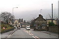
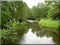
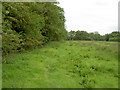
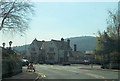
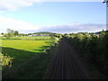
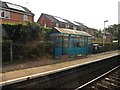
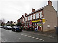
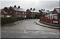
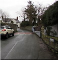
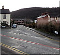
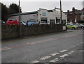
100 photos from this area
Area Information
Key information about the LL12 9NF including its size, population, and administrative classification.
- Area Type
- Postcode
- Area Size
- 8641 m²
- Population
- 1425
- Population Density
- 126 people/km²
House Prices in LL12 9NF
14
Properties
£132,825
Average Sold Price
£53,000
Lowest Price
£179,000
Highest Price
Showing 14 properties
| Address | Type | Beds | Baths | Last Sale Price | Last Sale Date | |
|---|---|---|---|---|---|---|
| Caldy, Hawarden Road, Hope, LL12 9NF | Detached | 3 | 1 | £179,000 | Mar 2019 | |
| Min Awel, Hawarden Road, Hope, LL12 9NF | Bungalow | - | - | £165,000 | Oct 2013 | |
| Haulfryn, Hawarden Road, Hope, LL12 9NF | Detached | - | - | £150,000 | Jan 2008 | |
| Green Gates, Hawarden Road, Hope, LL12 9NF | Detached | 3 | 1 | £144,950 | Mar 2004 | |
| Oak Cottage, Hawarden Road, Hope, LL12 9NF | house | - | - | £105,000 | Oct 1998 | |
| Bryn Awelon, Hawarden Road, Hope, LL12 9NF | Detached | - | - | £53,000 | Jan 1996 | |
| Management Accomodation, White Lion Inn, Hawarden Road, Hope, LL12 9NF | Flat | - | - | - | - | |
| Mole Cottage, Hawarden Road, Hope, LL12 9NF | house | - | - | - | - | |
| Dovedale, Hawarden Road, Hope, LL12 9NF | Bungalow | - | - | - | - | |
| Hillcrest, Hawarden Road, Hope, LL12 9NF | Detached | - | - | - | - |
Page 1 of 2
Energy Efficiency in LL12 9NF
Amenities
Schools
| Rank | School | Type | Entry gender | Ages |
|---|
Explore more schools in this area
Go to Schools tabDemographics
Household Size
Two person
most common
Accommodation Type
Houses
most common
Tenure
92
majority
Ethnic Group
White
most common
Religion
N/A
most common
Household Composition
N/A
most common
Age
47
median
Adults (30-64 years)
most common
Household Deprivation
N/A
with no deprivation
NS-SEC
42
in Lower managerial occupations
Explore more demographic insights in this area
Go to Demographics tabPlanning
Planning Constraints
- Flood RiskPremium
- Ramsar Wetland SitesPremium
- Area of Outstanding Natural BeautyPremium
- Protected Nature ReservePremium
- Protected WoodlandPremium
- Crime RiskPremium