Area Overview for CH7 1LY
Photos of CH7 1LY
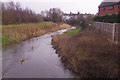
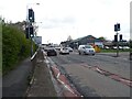
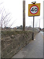
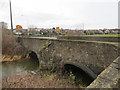
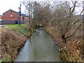
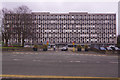
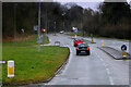
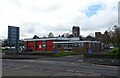
20 photos from this area
Area Information
Key information about the CH7 1LY including its size, population, and administrative classification.
- Area Type
- Postcode
- Area Size
- 14.8 hectares
- Population
- 1379
- Population Density
- 942 people/km²
House Prices in CH7 1LY
42
Properties
£174,824
Average Sold Price
£70,000
Lowest Price
£335,000
Highest Price
Showing 42 properties
| Address | Type | Beds | Baths | Last Sale Price | Last Sale Date | |
|---|---|---|---|---|---|---|
| 9 Ffordd Argoed, Mold, CH7 1LY | house | 4 | - | £335,000 | Jun 2019 | |
| 34 Ffordd Argoed, Mold, CH7 1LY | Bungalow | - | - | £210,000 | Jun 2019 | |
| 1A Ffordd Argoed, Mold, CH7 1LY | house | - | - | £197,500 | Mar 2017 | |
| 8 Ffordd Argoed, Mold, CH7 1LY | house | - | - | £220,000 | Jul 2016 | |
| 2 Ffordd Argoed, Mold, CH7 1LY | Detached | 3 | - | £185,000 | Apr 2015 | |
| 38 Ffordd Argoed, Mold, CH7 1LY | Bungalow | - | - | £182,500 | Dec 2011 | |
| 15 Ffordd Argoed, Mold, CH7 1LY | Detached | - | - | £245,000 | Feb 2009 | |
| 28 Ffordd Argoed, Mold, CH7 1LY | Detached | - | - | £280,000 | Jun 2005 | |
| 36 Ffordd Argoed, Mold, CH7 1LY | Detached | - | - | £181,500 | Sep 2004 | |
| 33 Ffordd Argoed, Mold, CH7 1LY | Detached | - | - | £165,000 | Jan 2004 |
Page 1 of 5
Energy Efficiency in CH7 1LY
Amenities
Schools
| Rank | School | Type | Entry gender | Ages |
|---|
Explore more schools in this area
Go to Schools tabDemographics
Household Size
Two person
most common
Accommodation Type
Houses
most common
Tenure
83
majority
Ethnic Group
White
most common
Religion
N/A
most common
Household Composition
N/A
most common
Age
47
median
Adults (30-64 years)
most common
Household Deprivation
N/A
with no deprivation
NS-SEC
37
in Lower managerial occupations
Explore more demographic insights in this area
Go to Demographics tabPlanning
Planning Constraints
- Flood RiskPremium
- Ramsar Wetland SitesPremium
- Area of Outstanding Natural BeautyPremium
- Protected Nature ReservePremium
- Protected WoodlandPremium
- Crime RiskPremium