Area Overview for CF39 8RL
Photos of CF39 8RL
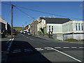
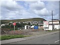
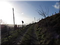
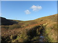
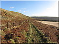
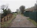
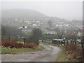

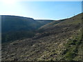
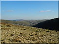
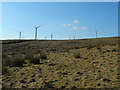
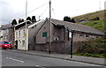
80 photos from this area
Area Information
Key information about the CF39 8RL including its size, population, and administrative classification.
- Area Type
- Postcode
- Area Size
- 15.9 hectares
- Population
- 1089
- Population Density
- 104 people/km²
House Prices in CF39 8RL
34
Properties
£100,818
Average Sold Price
£40,500
Lowest Price
£209,995
Highest Price
Showing 34 properties
| Address | Type | Beds | Baths | Last Sale Price | Last Sale Date | |
|---|---|---|---|---|---|---|
| 7 Glannant Road, Evanstown, Gilfach Goch, CF39 8RL | house | - | - | £209,995 | Nov 2025 | |
| 18 Glannant Road, Evanstown, Gilfach Goch, CF39 8RL | Semi-detached | 2 | 2 | £94,000 | Nov 2020 | |
| 8 Glannant Road, Evanstown, Gilfach Goch, CF39 8RL | house | - | - | £125,000 | May 2016 | |
| 23 Glannant Road, Evanstown, Gilfach Goch, CF39 8RL | Semi-detached | 2 | 1 | £73,000 | Feb 2016 | |
| 10 Glannant Road, Evanstown, Gilfach Goch, CF39 8RL | Semi-detached | 3 | - | £101,500 | Feb 2016 | |
| 2 Glannant Road, Evanstown, Gilfach Goch, CF39 8RL | Semi-detached | - | - | £128,000 | Oct 2008 | |
| 4 Glannant Road, Evanstown, Gilfach Goch, CF39 8RL | Semi-detached | - | - | £89,000 | Jan 2006 | |
| 3 Glannant Road, Evanstown, Gilfach Goch, CF39 8RL | Semi-detached | 3 | - | £100,000 | Jul 2005 | |
| 20 Glannant Road, Evanstown, Gilfach Goch, CF39 8RL | house | - | - | £69,000 | Sep 2004 | |
| 12 Glannant Road, Evanstown, Gilfach Goch, CF39 8RL | Semi-detached | - | - | £40,500 | Apr 2002 |
Page 1 of 4
Energy Efficiency in CF39 8RL
Amenities
Schools
| Rank | School | Type | Entry gender | Ages |
|---|
Explore more schools in this area
Go to Schools tabDemographics
Household Size
Family (3-5 people)
most common
Accommodation Type
Houses
most common
Tenure
66
majority
Ethnic Group
White
most common
Religion
N/A
most common
Household Composition
N/A
most common
Age
47
median
Adults (30-64 years)
most common
Household Deprivation
N/A
with no deprivation
NS-SEC
20
in Lower managerial occupations
Explore more demographic insights in this area
Go to Demographics tabPlanning
Planning Constraints
- Flood RiskPremium
- Ramsar Wetland SitesPremium
- Area of Outstanding Natural BeautyPremium
- Protected Nature ReservePremium
- Protected WoodlandPremium
- Crime RiskPremium