Area Overview for Pen-y-bont ar Ogwr - Bridgend
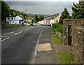
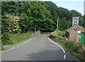
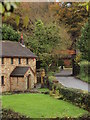
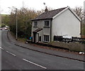
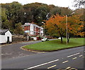
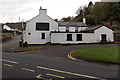
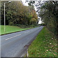
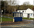
Photos of Pen-y-bont ar Ogwr - Bridgend
Area Information
Living in Pen-y-bont ar Ogwr - Bridgend involves navigating a district borough unitary authority that covers a significant geographical spread of 255.2 km². This vast area offers space for families and individuals seeking room to live, though the sheer size means infrastructure can feel dispersed compared to smaller towns. You are stepping into a region defined by its rural character rather than dense urban centres. The landscape is shaped by its history and natural features, creating an environment where daily life often revolves around local villages rather than a single commercial hub. Prospective buyers looking at homes in Pen-y-bont ar Ogwr - Bridgend should prepare for a lifestyle that values proximity to nature over city convenience. The area functions as a local authority district within Wales, blending residential zones with open land. Your daily routine will depend heavily on your specific location within the 255.2 km² zone, as travel times to Employment hubs or shopping centres vary greatly depending on which part of the district you choose. There is no central town square that dominates every aspect of life here. Instead, communities are spread out across the countryside. This layout suits those who appreciate quiet living but requires a reliable vehicle. You will find that estates and neighbourhoods here are often separated by significant distances. Understanding the local geography is essential for planning your commute or school runs. The region maintains a strong identity as a distinct part of the wider Bridgend county area.
- Area Type
- District/Borough
- Area Size
- 255.2 km²
- Population
- Not available
- Population Density
- Not available
Demographics
The community in Pen-y-bont ar Ogwr - Bridgend has a distinct age profile that sets it apart from many other regions in the UK. The median age stands at 70 years old, indicating a population heavily skewed towards older residents. This demographic signal suggests a neighbourhood where many people are living well into their later years. If you are considering living in Pen-y-bont ar Ogwr - Bridgend for retirement, you would find a community environment naturally suited to that stage of life. Health services and quiet, accessible homes likely form a central part of the local offering. Home ownership is the dominant housing tenure in the area, with 71% of residents owning their property outright or with a mortgage. This high rate of ownership implies stability and a deep-rooted connection to the locality. You are unlikely to encounter a volatile rental market here, as most households are secure in their residences. The household composition data highlights a total population structure where families and single-person households coexist, though the age median points towards an older mix. Diversity data is not detailed in the breakdown, but the social fabric is defined by long-term residency trends. When looking at schools near Pen-y-bont ar Ogwr - Bridgend, you must align your timing with the community's older demographic. The area is not characterised by young professionals or student populations. Instead, it reflects a settled group who have chosen to make the district their permanent home.
Household Size
Accommodation Type
Tenure
Ethnic Group
Religion
Household Composition
Age
Household Deprivation
NS-SEC
Explore more demographic insights in this area
Go to Demographics tabPlanning
Planning Constraints
- Flood RiskPremium
- Ramsar Wetland SitesPremium
- Area of Outstanding Natural BeautyPremium
- Protected Nature ReservePremium
- Protected WoodlandPremium
- Crime RiskPremium