Area Overview for CF31 1HD
Photos of CF31 1HD
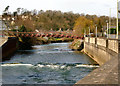
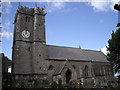
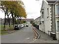
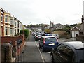
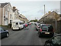
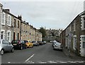
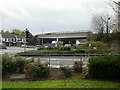
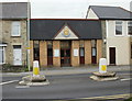
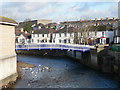
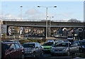
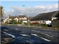
100 photos from this area
Area Information
Key information about the CF31 1HD including its size, population, and administrative classification.
- Area Type
- Postcode
- Area Size
- 3.0 hectares
- Population
- 1607
- Population Density
- 3741 people/km²
House Prices in CF31 1HD
85
Properties
£123,473
Average Sold Price
£2,000
Lowest Price
£227,500
Highest Price
Showing 85 properties
| Address | Type | Beds | Baths | Last Sale Price | Last Sale Date | |
|---|---|---|---|---|---|---|
| 58 Morfa Street, Bridgend, CF31 1HD | house | 3 | 1 | £200,001 | Nov 2025 | |
| 93 Morfa Street, Bridgend, CF31 1HD | Semi-detached | 3 | 1 | £227,500 | Sep 2025 | |
| 61 Morfa Street, Bridgend, CF31 1HD | Semi-detached | 3 | 1 | £170,000 | Jul 2025 | |
| 47 Morfa Street, Bridgend, CF31 1HD | Semi-detached | 4 | 1 | £185,000 | Aug 2024 | |
| 105 Morfa Street, Bridgend, CF31 1HD | house | - | - | £180,000 | Jun 2024 | |
| 63 Morfa Street, Bridgend, CF31 1HD | Terraced | 2 | 1 | £149,950 | May 2024 | |
| 39 Morfa Street, Bridgend, CF31 1HD | Semi-detached | 3 | 1 | £130,000 | Dec 2023 | |
| 83 Morfa Street, Bridgend, CF31 1HD | Terraced | 2 | 1 | £168,500 | Oct 2023 | |
| 60 Morfa Street, Bridgend, CF31 1HD | Semi-detached | 3 | 1 | £185,000 | Jul 2023 | |
| 38 Morfa Street, Bridgend, CF31 1HD | Terraced | 2 | 1 | £165,000 | Apr 2023 |
Page 1 of 9
Energy Efficiency in CF31 1HD
Amenities
Schools
| Rank | School | Type | Entry gender | Ages |
|---|
Explore more schools in this area
Go to Schools tabDemographics
Household Size
One person
most common
Accommodation Type
Houses
most common
Tenure
50
majority
Ethnic Group
White
most common
Religion
N/A
most common
Household Composition
N/A
most common
Age
47
median
Adults (30-64 years)
most common
Household Deprivation
N/A
with no deprivation
NS-SEC
25
in Lower managerial occupations
Explore more demographic insights in this area
Go to Demographics tabPlanning
Planning Constraints
- Flood RiskPremium
- Ramsar Wetland SitesPremium
- Area of Outstanding Natural BeautyPremium
- Protected Nature ReservePremium
- Protected WoodlandPremium
- Crime RiskPremium