Area Overview for CF31 1HB
Photos of CF31 1HB
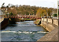
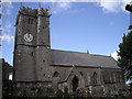
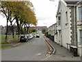
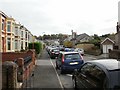
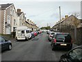
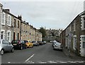
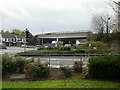
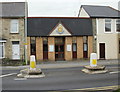
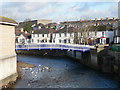
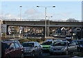
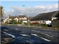
100 photos from this area
Area Information
Key information about the CF31 1HB including its size, population, and administrative classification.
- Area Type
- Postcode
- Area Size
- 1.1 hectares
- Population
- 1607
- Population Density
- 3741 people/km²
House Prices in CF31 1HB
9
Properties
£212,416
Average Sold Price
£136,500
Lowest Price
£375,000
Highest Price
Showing 9 properties
| Address | Type | Beds | Baths | Last Sale Price | Last Sale Date | |
|---|---|---|---|---|---|---|
| Hidden House, Morfa Street, Bridgend, CF31 1HB | Detached | 5 | 2 | £375,000 | Jan 2024 | |
| 18 Morfa Street, Bridgend, CF31 1HB | Terraced | 4 | 1 | £249,995 | Apr 2022 | |
| 20 Morfa Street, Bridgend, CF31 1HB | house | - | - | £173,000 | Jul 2017 | |
| 28 Morfa Street, Bridgend, CF31 1HB | Semi-detached | 3 | 1 | £185,000 | Mar 2016 | |
| 24 Morfa Street, Bridgend, CF31 1HB | Terraced | 3 | 1 | £155,000 | Dec 2005 | |
| 1 The Stables, Bridgend, CF31 1HB | Semi-detached | - | - | £136,500 | Sep 2004 | |
| Beacon Hurst, 22 Morfa Street, Bridgend, CF31 1HB | Semi-detached | 4 | 2 | - | - | |
| 2 The Stables, Bridgend, CF31 1HB | Semi-detached | - | - | - | - | |
| 26 Morfa Street, Bridgend, CF31 1HB | house | - | - | - | - |
Energy Efficiency in CF31 1HB
Amenities
Schools
| Rank | School | Type | Entry gender | Ages |
|---|
Explore more schools in this area
Go to Schools tabDemographics
Household Size
One person
most common
Accommodation Type
Houses
most common
Tenure
50
majority
Ethnic Group
White
most common
Religion
N/A
most common
Household Composition
N/A
most common
Age
47
median
Adults (30-64 years)
most common
Household Deprivation
N/A
with no deprivation
NS-SEC
25
in Lower managerial occupations
Explore more demographic insights in this area
Go to Demographics tabPlanning
Planning Constraints
- Flood RiskPremium
- Ramsar Wetland SitesPremium
- Area of Outstanding Natural BeautyPremium
- Protected Nature ReservePremium
- Protected WoodlandPremium
- Crime RiskPremium