Area Overview for S10 5FL
Photos of S10 5FL
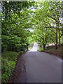
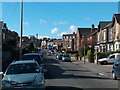
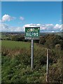
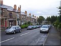
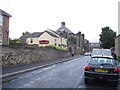
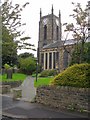
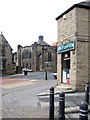
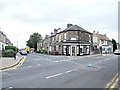
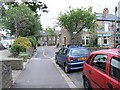
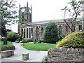
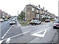
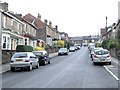
95 photos from this area
Area Information
Key information about the S10 5FL including its size, population, and administrative classification.
- Area Type
- Postcode
- Area Size
- 3087 m²
- Population
- 1296
- Population Density
- 11077 people/km²
House Prices in S10 5FL
10
Properties
£198,954
Average Sold Price
£85,000
Lowest Price
£265,175
Highest Price
Showing 10 properties
| Address | Type | Beds | Baths | Last Sale Price | Last Sale Date | |
|---|---|---|---|---|---|---|
| 78 Lydgate Lane, Sheffield, S10 5FL | Terraced | 3 | 1 | £250,000 | Apr 2024 | |
| 76 Lydgate Lane, Sheffield, S10 5FL | Terraced | 2 | - | £265,175 | Aug 2022 | |
| 80 Lydgate Lane, Sheffield, S10 5FL | house | - | - | £256,000 | Jan 2019 | |
| 74 Lydgate Lane, Sheffield, S10 5FL | Terraced | 3 | - | £172,500 | Mar 2016 | |
| 49 Lydgate Lane, Sheffield, S10 5FL | house | - | - | £265,000 | Jun 2011 | |
| 55 Lydgate Lane, Sheffield, S10 5FL | Semi-detached | - | - | £99,000 | Mar 2002 | |
| 53 Lydgate Lane, Sheffield, S10 5FL | Semi-detached | - | - | £85,000 | Jan 2001 | |
| 59 Lydgate Lane, Sheffield, S10 5FL | Semi-detached | - | - | - | - | |
| 57 Lydgate Lane, Sheffield, S10 5FL | Semi-detached | - | - | - | - | |
| 51 Lydgate Lane, Sheffield, S10 5FL | Semi-detached | - | - | - | - |
Energy Efficiency in S10 5FL
Amenities
Schools
| Rank | School | Type | Entry gender | Ages |
|---|
Explore more schools in this area
Go to Schools tabDemographics
Household Size
One person
most common
Accommodation Type
Houses
most common
Tenure
42
majority
Ethnic Group
White
most common
Religion
N/A
most common
Household Composition
N/A
most common
Age
47
median
Young Adults (15-29 years)
most common
Household Deprivation
N/A
with no deprivation
NS-SEC
38
in Lower managerial occupations
Explore more demographic insights in this area
Go to Demographics tabPlanning
Planning Constraints
- Flood RiskPremium
- Ramsar Wetland SitesPremium
- Area of Outstanding Natural BeautyPremium
- Protected Nature ReservePremium
- Protected WoodlandPremium