Area Overview for S10 5FF
Photos of S10 5FF
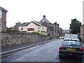
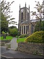
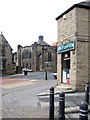
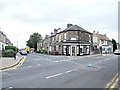
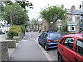
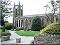
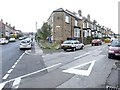
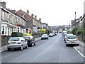
95 photos from this area
Area Information
Key information about the S10 5FF including its size, population, and administrative classification.
- Area Type
- Postcode
- Area Size
- 5123 m²
- Population
- 1296
- Population Density
- 11077 people/km²
House Prices in S10 5FF
26
Properties
£194,741
Average Sold Price
£65,000
Lowest Price
£309,000
Highest Price
Showing 26 properties
| Address | Type | Beds | Baths | Last Sale Price | Last Sale Date | |
|---|---|---|---|---|---|---|
| 40 Evelyn Road, Sheffield, S10 5FF | Terraced | 3 | 3 | £309,000 | Nov 2024 | |
| 14 Evelyn Road, Sheffield, S10 5FF | Terraced | 4 | 1 | £191,000 | Sep 2023 | |
| 16 Evelyn Road, Sheffield, S10 5FF | Terraced | 3 | 1 | £184,000 | Mar 2022 | |
| 38 Evelyn Road, Sheffield, S10 5FF | Terraced | 4 | 1 | £245,000 | Jul 2019 | |
| 42 Evelyn Road, Sheffield, S10 5FF | Terraced | 3 | - | £244,000 | May 2019 | |
| 34 Evelyn Road, Sheffield, S10 5FF | house | - | - | £227,000 | Oct 2018 | |
| 44 Evelyn Road, Sheffield, S10 5FF | house | - | - | £232,500 | Jun 2018 | |
| 26 Evelyn Road, Sheffield, S10 5FF | house | - | - | £200,000 | Oct 2016 | |
| 54 Evelyn Road, Sheffield, S10 5FF | Detached | 3 | - | £237,000 | Mar 2016 | |
| 24 Evelyn Road, Sheffield, S10 5FF | Terraced | 3 | - | £170,000 | Nov 2015 |
Page 1 of 3
Energy Efficiency in S10 5FF
Amenities
Schools
| Rank | School | Type | Entry gender | Ages |
|---|
Explore more schools in this area
Go to Schools tabDemographics
Household Size
One person
most common
Accommodation Type
Houses
most common
Tenure
42
majority
Ethnic Group
White
most common
Religion
N/A
most common
Household Composition
N/A
most common
Age
47
median
Young Adults (15-29 years)
most common
Household Deprivation
N/A
with no deprivation
NS-SEC
38
in Lower managerial occupations
Explore more demographic insights in this area
Go to Demographics tabPlanning
Planning Constraints
- Flood RiskPremium
- Ramsar Wetland SitesPremium
- Area of Outstanding Natural BeautyPremium
- Protected Nature ReservePremium
- Protected WoodlandPremium