Area Overview for WS9 8HS
Photos of WS9 8HS
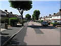
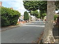
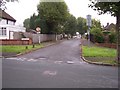
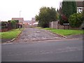
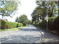
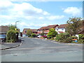
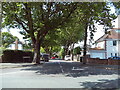
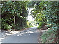
36 photos from this area
Area Information
Key information about the WS9 8HS including its size, population, and administrative classification.
- Area Type
- Postcode
- Area Size
- 9725 m²
- Population
- 1638
- Population Density
- 5842 people/km²
House Prices in WS9 8HS
34
Properties
£138,869
Average Sold Price
£64,950
Lowest Price
£200,000
Highest Price
Showing 34 properties
| Address | Type | Beds | Baths | Last Sale Price | Last Sale Date | |
|---|---|---|---|---|---|---|
| 30 Kent Close, Aldridge, WS9 8HS | Bungalow | 2 | 1 | £200,000 | Dec 2023 | |
| 26 Kent Close, Aldridge, WS9 8HS | house | - | - | £200,000 | Jul 2022 | |
| 29 Kent Close, Aldridge, WS9 8HS | Bungalow | 2 | 1 | £193,000 | Jul 2022 | |
| 20 Kent Close, Aldridge, WS9 8HS | house | - | - | £151,000 | May 2021 | |
| 6 Kent Close, Aldridge, WS9 8HS | Flat | - | - | £86,000 | Aug 2020 | |
| 28 Kent Close, Aldridge, WS9 8HS | house | 2 | - | £131,000 | Nov 2019 | |
| 23 Kent Close, Aldridge, WS9 8HS | Bungalow | - | - | £85,000 | May 2009 | |
| 22 Kent Close, Aldridge, WS9 8HS | Bungalow | - | - | £64,950 | Nov 2002 | |
| 31 Kent Close, Aldridge, WS9 8HS | Bungalow | 2 | 1 | - | - | |
| 4 Kent Close, Aldridge, WS9 8HS | Flat | - | - | - | - |
Page 1 of 4
Energy Efficiency in WS9 8HS
Amenities
Schools
| Rank | School | Type | Entry gender | Ages |
|---|
Explore more schools in this area
Go to Schools tabDemographics
Household Size
One person
most common
Accommodation Type
Houses
most common
Tenure
52
majority
Ethnic Group
White
most common
Religion
N/A
most common
Household Composition
N/A
most common
Age
47
median
Adults (30-64 years)
most common
Household Deprivation
N/A
with no deprivation
NS-SEC
22
in Lower managerial occupations
Explore more demographic insights in this area
Go to Demographics tabPlanning
Planning Constraints
- Flood RiskPremium
- Ramsar Wetland SitesPremium
- Area of Outstanding Natural BeautyPremium
- Protected Nature ReservePremium
- Protected WoodlandPremium