Area Overview for WS9 8HR
Photos of WS9 8HR
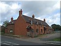
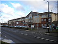
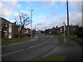
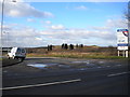
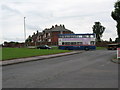
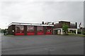
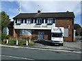
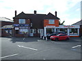
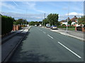
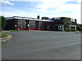
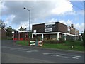
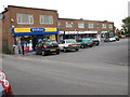
15 photos from this area
Area Information
Key information about the WS9 8HR including its size, population, and administrative classification.
- Area Type
- Postcode
- Area Size
- 8170 m²
- Population
- 1638
- Population Density
- 5842 people/km²
House Prices in WS9 8HR
20
Properties
£147,768
Average Sold Price
£50,000
Lowest Price
£325,000
Highest Price
Showing 20 properties
| Address | Type | Beds | Baths | Last Sale Price | Last Sale Date | |
|---|---|---|---|---|---|---|
| 71 Jessie Road, Aldridge, WS9 8HR | Detached | 3 | 1 | £195,000 | Aug 2025 | |
| 55 Jessie Road, Aldridge, WS9 8HR | Semi-detached | 3 | 2 | £325,000 | Apr 2025 | |
| 79 Jessie Road, Aldridge, WS9 8HR | Terraced | 3 | 1 | £158,000 | Apr 2019 | |
| 83 Jessie Road, Aldridge, WS9 8HR | house | 3 | - | £149,950 | Oct 2018 | |
| 73 Jessie Road, Aldridge, WS9 8HR | house | - | - | £168,000 | Jan 2018 | |
| 85 Jessie Road, Aldridge, WS9 8HR | house | - | - | £152,000 | Jun 2016 | |
| 63 Jessie Road, Aldridge, WS9 8HR | house | - | - | £123,500 | Apr 2010 | |
| 87 Jessie Road, Aldridge, WS9 8HR | Bungalow | - | - | £109,000 | Apr 2009 | |
| 61 Jessie Road, Aldridge, WS9 8HR | Semi-detached | 3 | 1 | £100,000 | Mar 2007 | |
| 59 Jessie Road, Aldridge, WS9 8HR | house | 3 | 1 | £95,000 | Mar 2004 |
Page 1 of 2
Energy Efficiency in WS9 8HR
Amenities
Schools
| Rank | School | Type | Entry gender | Ages |
|---|
Explore more schools in this area
Go to Schools tabDemographics
Household Size
One person
most common
Accommodation Type
Houses
most common
Tenure
52
majority
Ethnic Group
White
most common
Religion
N/A
most common
Household Composition
N/A
most common
Age
47
median
Adults (30-64 years)
most common
Household Deprivation
N/A
with no deprivation
NS-SEC
22
in Lower managerial occupations
Explore more demographic insights in this area
Go to Demographics tabPlanning
Planning Constraints
- Flood RiskPremium
- Ramsar Wetland SitesPremium
- Area of Outstanding Natural BeautyPremium
- Protected Nature ReservePremium
- Protected WoodlandPremium